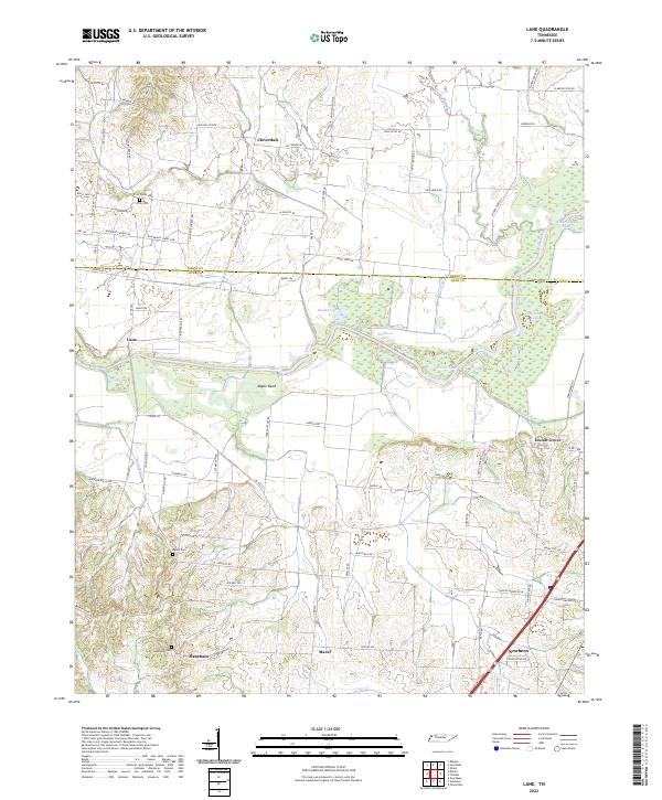
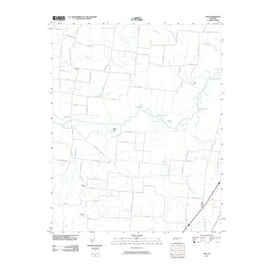
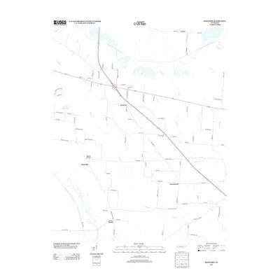
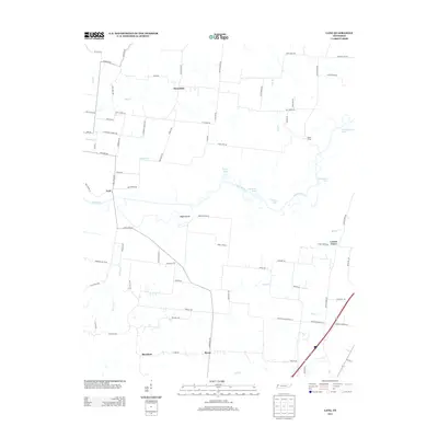
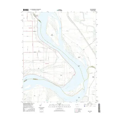
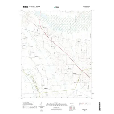
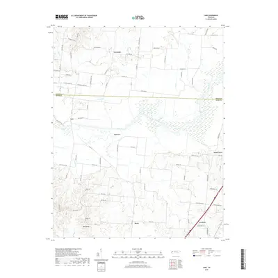
2022 Map of Lane
USGS Topo · Published 2022About this map
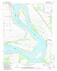
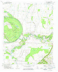
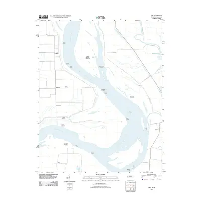
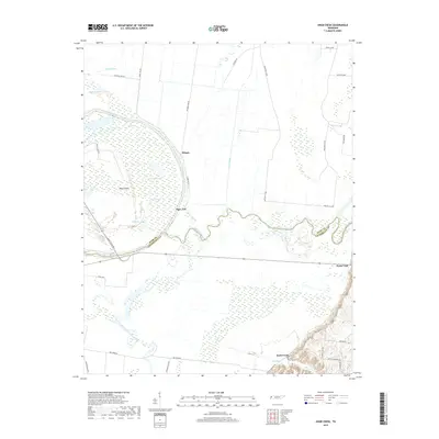
Cloverdale and Lane sit at the heart of this West Tennessee landscape, where the wide floodplains of the Obion River dictate the local geography. The river's meandering course is marked by oxbow remnants and wetlands, including Old River Lake, Goose Lake, and Horseshoe Lake. These water bodies and the surrounding bottomlands, like Maple Bend, illustrate the shifting nature of the waterway before it reaches the county line between Obion and Dyer.
Find a feature on this map
82 named features on this map. Tap any name to fly to it.
Don’t see what you’re looking for? This feature index may not catch every label — zoom into the map to look around manually.
Map Details
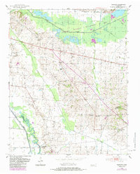
Editions of this 2022 Lane Map
This is the sole edition of this map. No revisions or reprints were ever made.
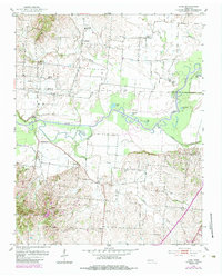
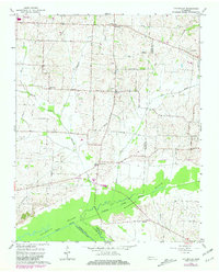
Historical Maps of Newbern Through Time
35 maps found
1952 Bonicord
Dyer County, TN
1952 Lane
Dyer County, TN
1965 Tatumville
Dyer County, TN
1972 Chic
Dyer County, TN
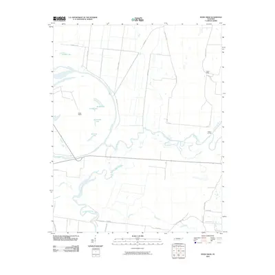
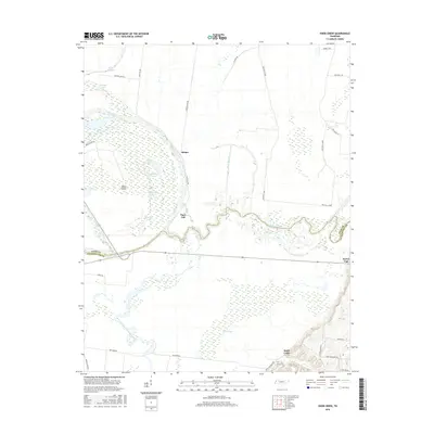
1972 Knob Creek
Dyer County, TN
2010 Bonicord
Dyer County, TN
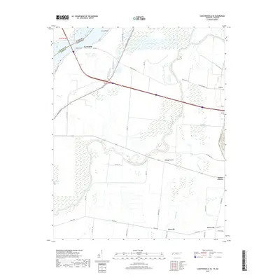
2010 Caruthersville SE
Dyer County, TN
2010 Knob Creek
Dyer County, TN
2010 Lane
Dyer County, TN
2010 Tatumville
Dyer County, TN
2011 Chic
Dyer County, TN
2013 Bonicord
Dyer County, TN
2013 Caruthersville SE
Dyer County, TN
2013 Chic
Dyer County, TN
2013 Knob Creek
Dyer County, TN
2013 Lane
Dyer County, TN
2013 Tatumville
Dyer County, TN
2016 Bonicord
Dyer County, TN
2016 Caruthersville SE
Dyer County, TN
2016 Chic
Dyer County, TN
2016 Knob Creek
Dyer County, TN
2016 Lane
Dyer County, TN
2016 Tatumville
Dyer County, TN
2019 Bonicord
Dyer County, TN
2019 Caruthersville SE
Dyer County, TN
2019 Chic
Dyer County, TN
2019 Knob Creek
Dyer County, TN
2019 Lane
Dyer County, TN

2019 Tatumville
Dyer County, TN
2022 Bonicord
Dyer County, TN
2022 Caruthersville SE
Dyer County, TN
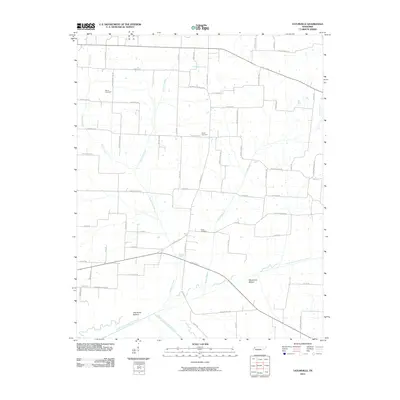
2022 Chic
Dyer County, TN
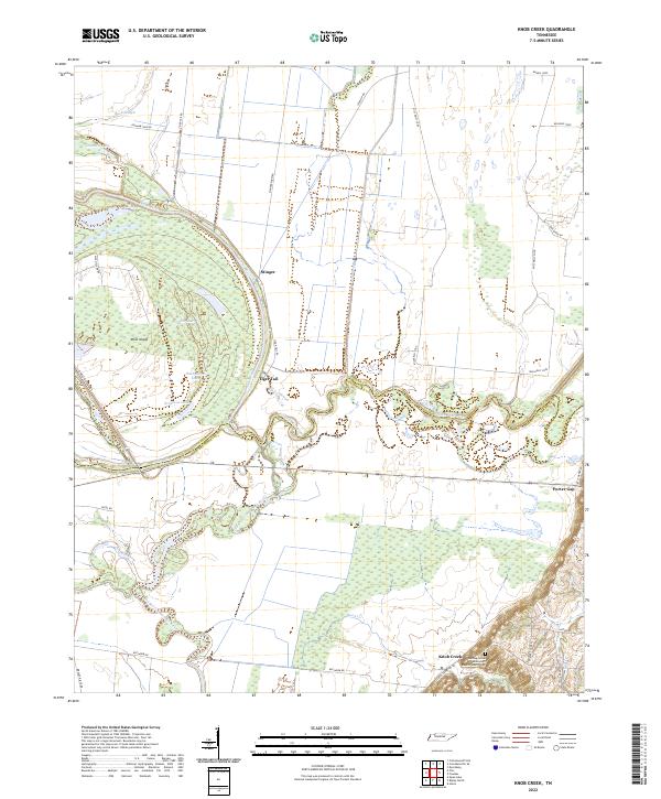
2022 Knob Creek
Dyer County, TN
2022 Lane
Dyer County, TN
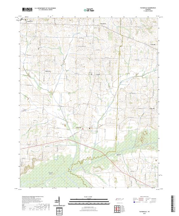
2022 Tatumville
Dyer County, TN