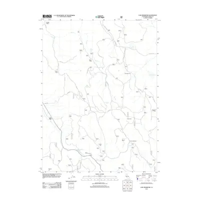
2012 Map of Lane Reservoir
USGS Topo · Published 2012About this map
Scotty Place and Avila Place anchor the northwestern and southwestern reaches of this high-altitude landscape in Lassen County. The terrain is defined by a series of flats and draws, including Coyote Flat and Hunsinger Flat, punctuated by numerous named springs such as Johnson Mill Spring and Bert Bath Spring. These water sources were vital for early settlement and livestock in this dry, timbered environment, where the flow of Butte Cr and Willow Cr shaped the local geography.
Find a feature on this map
83 named features on this map. Tap any name to fly to it.
Don’t see what you’re looking for? This feature index may not catch every label — zoom into the map to look around manually.
Map Details
Editions of this 2012 Lane Reservoir Map
This is the sole edition of this map. No revisions or reprints were ever made.
Other maps of this area
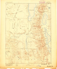
1886 · Alturas
USGS Topo · 1:250,000
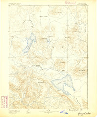
1886 · Honey Lake
USGS Topo · 1:250,000
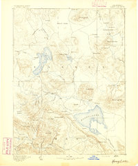
1891 · Honey Lake
USGS Topo · 1:250,000
1892 · Alturas
USGS Topo · 1:250,000
1893 · Honey Lake
USGS Topo · 1:250,000
1954 · Grasshopper Valley
USGS Topo · 1:62,500
1954 · Alturas
USGS Topo · 1:250,000
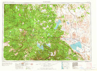
1955 · Westwood
USGS Topo · 1:250,000
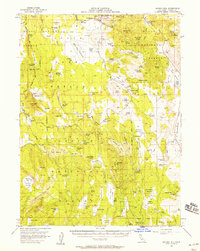
1956 · Hayden Hill
USGS Topo · 1:62,500
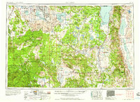
1958 · Alturas
USGS Topo · 1:250,000