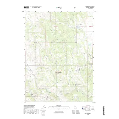
2018 Map of Lane Reservoir
USGS Topo · Published 2018About this map
The high desert and timbered slopes of the Modoc National Forest define this 2018 survey of Lassen County. Centered on the seasonal drainage networks and spring-fed basins of northern California, the map reveals a landscape managed for water storage and forest resources. Significant water features include Lane Reservoir, Moll Reservoir, and Williams Reservoir, which sit among vast flats and draws like Hunsinger Flat and Coyote Flat. The naming of Johnson Mill Spring and Shingle Mill Spring hints at the historical timber operations that once processed wood from these elevations. Ca 139 provides the primary transit corridor through the region, passing near the varied terrain of Letterbox Canyon and Smith Flat. This modern record details the intricate hydrography of the area, from the headwaters of Butte Cr to more isolated sources like Lower McBride Springs and Wayman Spring.
Find a feature on this map
28 named features on this map. Tap any name to fly to it.
Don’t see what you’re looking for? This feature index may not catch every label — zoom into the map to look around manually.
Map Details
Editions of this 2018 Lane Reservoir Map
This is the sole edition of this map. No revisions or reprints were ever made.
Other maps of this area

1886 · Alturas
USGS Topo · 1:250,000

1886 · Honey Lake
USGS Topo · 1:250,000

1891 · Honey Lake
USGS Topo · 1:250,000

1892 · Alturas
USGS Topo · 1:250,000

1893 · Honey Lake
USGS Topo · 1:250,000

1954 · Grasshopper Valley
USGS Topo · 1:62,500

1954 · Alturas
USGS Topo · 1:250,000

1955 · Westwood
USGS Topo · 1:250,000

1956 · Hayden Hill
USGS Topo · 1:62,500

1958 · Alturas
USGS Topo · 1:250,000