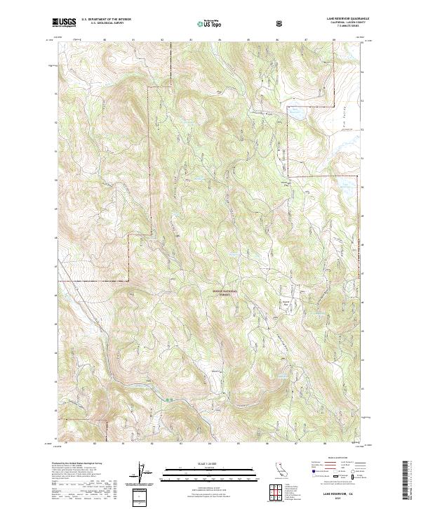
2021 Map of Lane Reservoir
USGS Topo · Published 2021About this map
The Modoc National Forest encompasses much of this landscape, characterized by a series of named springs and seasonal draws in the northern reaches of Lassen County. Water sources like Walker Spring, Shingle Mill Spring, and Johnson Mill Spring are critical markers across the terrain, suggesting the area's importance for local livestock and forest management. Small-scale water storage is present at Moll Reservoir and Williams Reservoir, reflecting the practical ranching and land use needs within the forest boundaries. The terrain is deeply carved by features such as Hunsinger Draw, Oxendine Draw, and Letterbox Canyon, which define the drainage patterns for Butte Cr and Willow Cr. Connectivity is provided by forest routes such as Butte Rd and the more significant Ca 139, linking the remote flats of Coyote Flat and Smith Flat to the broader regional network.
Find a feature on this map
34 named features on this map. Tap any name to fly to it.
Don’t see what you’re looking for? This feature index may not catch every label — zoom into the map to look around manually.
Map Details
Editions of this 2021 Lane Reservoir Map
This is the sole edition of this map. No revisions or reprints were ever made.
Other maps of this area

1886 · Alturas
USGS Topo · 1:250,000

1886 · Honey Lake
USGS Topo · 1:250,000

1891 · Honey Lake
USGS Topo · 1:250,000

1892 · Alturas
USGS Topo · 1:250,000

1893 · Honey Lake
USGS Topo · 1:250,000

1954 · Grasshopper Valley
USGS Topo · 1:62,500

1954 · Alturas
USGS Topo · 1:250,000

1955 · Westwood
USGS Topo · 1:250,000

1956 · Hayden Hill
USGS Topo · 1:62,500

1958 · Alturas
USGS Topo · 1:250,000