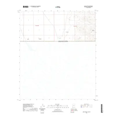
2020 Map of Lang Canyon
USGS Topo · Published 2020About this map
The San Luis Mountains dominate the northeastern portion of this borderland survey, where steep contours rise sharply above the high desert floor. This region is defined by its arid landscape and critical water management features, such as Barnet Tank, Blackjack Tank, and Larson Tank, which suggest the livestock ranching history of Hidalgo County. At the base of the mountains, Cienega Springs provides a natural water source near the mouth of Lang Canyon. The map is bifurcated by the international boundary between the United States of America and Mexico, illustrating the remote and sparsely populated character of the frontier. Small named settlements like Garcia and Bramlett appear along the border, representing the few concentrated points of human activity in an otherwise open and undeveloped landscape.
Find a feature on this map
11 named features on this map. Tap any name to fly to it.
Don’t see what you’re looking for? This feature index may not catch every label — zoom into the map to look around manually.
Map Details
Editions of this 2020 Lang Canyon Map
This is the sole edition of this map. No revisions or reprints were ever made.
Other maps of this area
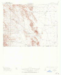
1917 · Antelope Wells
USGS Topo · 1:62,500
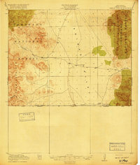
1918 · Cienega Springs
USGS Topo · 1:62,500
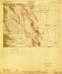
1919 · Antelope Wells
USGS Topo · 1:62,500
1955 · Douglas
USGS Topo · 1:250,000
1959 · Douglas
USGS Topo · 1:250,000
1961 · Douglas
USGS Topo · 1:250,000
1964 · Douglas
USGS Topo · 1:250,000
1982 · Fitzpatricks
USGS Topo · 1:24,000
1982 · Black Point
USGS Topo · 1:24,000
1982 · San Luis Pass
USGS Topo · 1:24,000