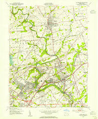
1953 Map of Langhorne
USGS Topo · Published 1955About this map
Neshaminy Creek snakes through this portion of Bucks County, anchoring a landscape where established borough life meets the postwar expansion of residential terraces and gardens. In the early 1950s, the area around Langhorne and Newtown reveals a complex network of schools and institutions, including the George Sch and Friends Sch, alongside numerous family and community burial grounds like Newtown Cem and Feaster Cem.
Find a feature on this map
97 named features on this map. Tap any name to fly to it.
Don’t see what you’re looking for? This feature index may not catch every label — zoom into the map to look around manually.
Map Details
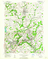
Editions of this 1953 Langhorne Map
2 editions found
Other maps of this area

1890 · Lambertville
USGS Topo · 1:62,500

1890 · Doylestown
USGS Topo · 1:62,500

1890 · Burlington
USGS Topo · 1:62,500

1891 · Lambertville
USGS Topo · 1:62,500

1891 · Doylestown
USGS Topo · 1:62,500

1893 · Germantown
USGS Topo · 1:62,500

1893 · Burlington
USGS Topo · 1:62,500

1894 · Lambertville
USGS Topo · 1:62,500

1894 · Germantown
USGS Topo · 1:62,500

1896 · Germantown
USGS Topo · 1:62,500
Featured Places
- Philadelphia, PA
- Bensalem Township, PA
- Middletown Township, PA
- Lower Makefield Township, PA
- Lower Southampton Township, PA