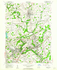
1953 Map of Langhorne
USGS Topo · Published 1962About this map
Neshaminy Creek carves a winding path through this portion of Bucks County, shaping the settlement patterns of towns like Langhorne and Newtown. By the early 1950s, the landscape shows a mix of traditional institutional land use and emerging mid-century infrastructure. Educational and religious sites are prominent, including the George Sch, Friends Sch, and the Sisters of St Casimir Sch near Holland Sta. The presence of the Old Star Airport and the sprawling Pennsylvania and Reading railroad networks, including Fairless Junction, highlights the region's role as a transportation corridor.
Find a feature on this map
95 named features on this map. Tap any name to fly to it.
Don’t see what you’re looking for? This feature index may not catch every label — zoom into the map to look around manually.
Map Details
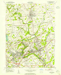
Editions of this 1953 Langhorne Map
2 editions found
Other maps of this area

1890 · Lambertville
USGS Topo · 1:62,500

1890 · Doylestown
USGS Topo · 1:62,500

1890 · Burlington
USGS Topo · 1:62,500

1891 · Lambertville
USGS Topo · 1:62,500

1891 · Doylestown
USGS Topo · 1:62,500

1893 · Germantown
USGS Topo · 1:62,500

1893 · Burlington
USGS Topo · 1:62,500

1894 · Lambertville
USGS Topo · 1:62,500

1894 · Germantown
USGS Topo · 1:62,500

1896 · Germantown
USGS Topo · 1:62,500
Featured Places
- Philadelphia, PA
- Bensalem Township, PA
- Middletown Township, PA
- Lower Makefield Township, PA
- Lower Southampton Township, PA