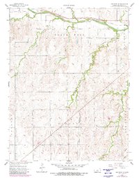
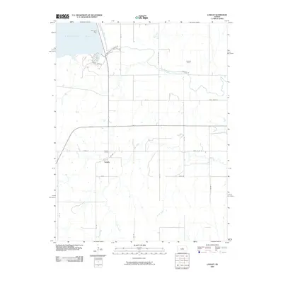
1964 Map of Langley
USGS Topo · Published 1983About this map
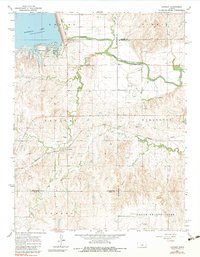
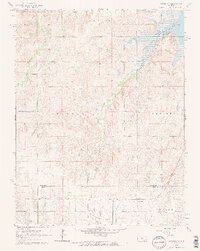
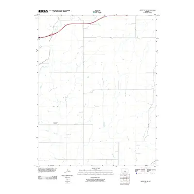
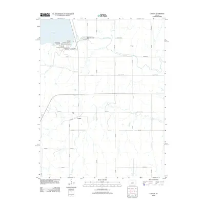
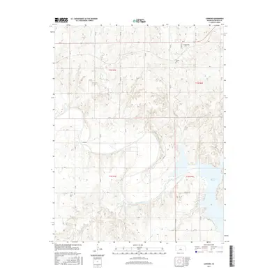
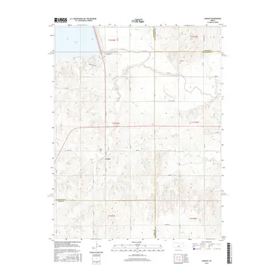
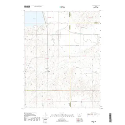
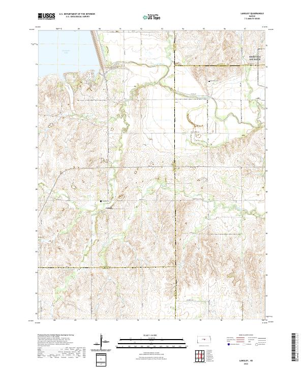
Langley stands as a focal point for local history on this central Kansas landscape, where the Missouri Pacific railroad cuts through the terrain. The community is well-documented with its Langley Sch and Langley Cem providing essential markers for genealogical research. To the north, the Smoky Hill River meanders toward the Kanopolis Lake, which dominates the northwest corner of the map alongside Kanopolis State Park. This mid-century survey captures the balance between the hydraulic engineering of the dam and the traditional agricultural and mining uses of the land. Evidence of local industry is scattered throughout, including numerous Sandpits and a Gravel Pit near the riverbanks. The natural drainage of the region is defined by several waterways, including Wiley Creek, Wolf Creek, and Sand Creek, while the Riverside Cem sits near the river's bend in the northeast.
Find a feature on this map
26 named features on this map. Tap any name to fly to it.
Don’t see what you’re looking for? This feature index may not catch every label — zoom into the map to look around manually.
Map Details
Editions of this 1964 Langley Map
2 editions found

Historical Maps of Langley Through Time
60 maps found
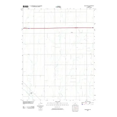
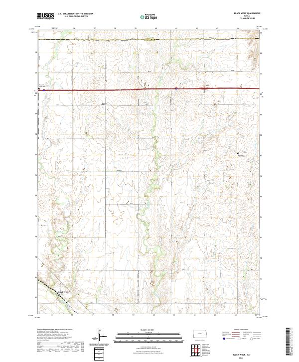
1957 Black Wolf
Ellsworth County, KS
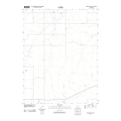
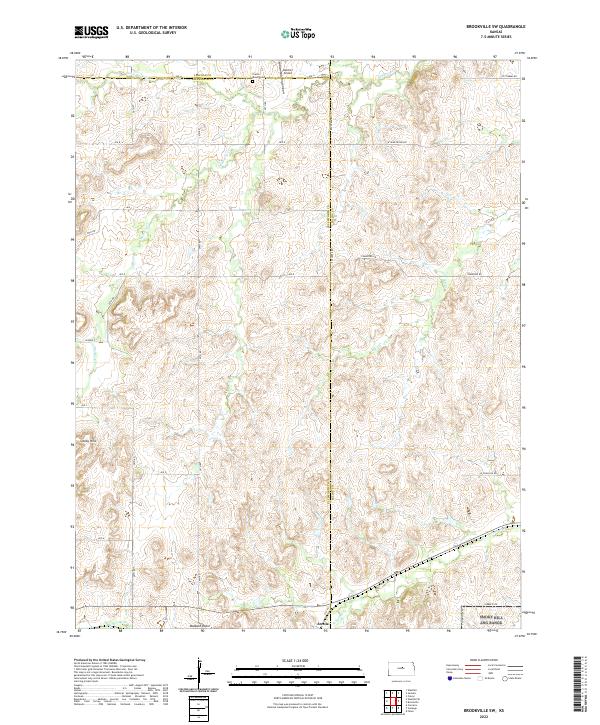
1957 Brookville SW
Ellsworth County, KS
1957 Carneiro
Ellsworth County, KS
1957 Holyrood NE
Ellsworth County, KS
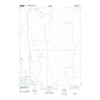
1957 Venango
Ellsworth County, KS
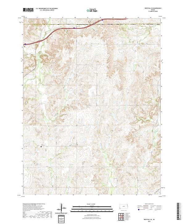
1957 Westfall SE
Ellsworth County, KS
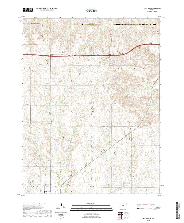
1957 Westfall SW
Ellsworth County, KS
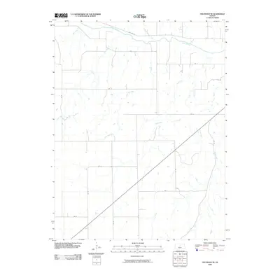
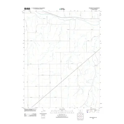
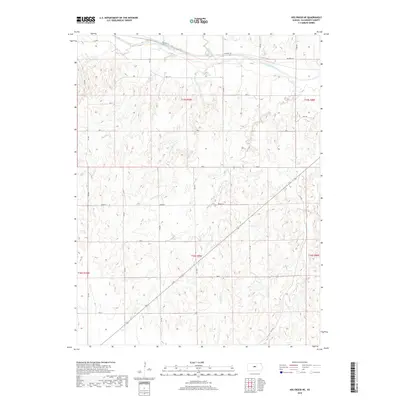
1964 Crawford
Ellsworth County, KS
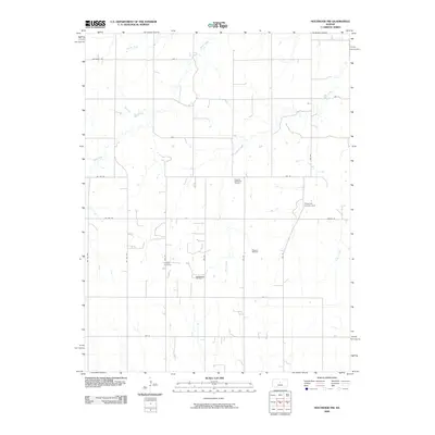
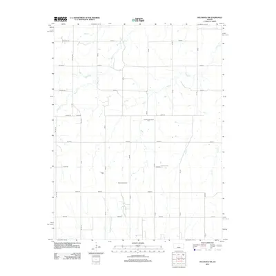
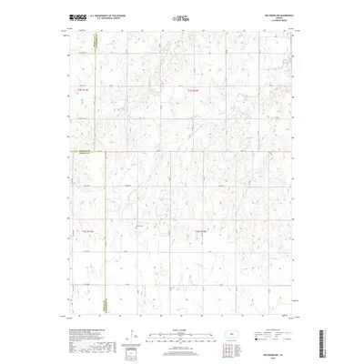
1964 Holyrood NW
Ellsworth County, KS
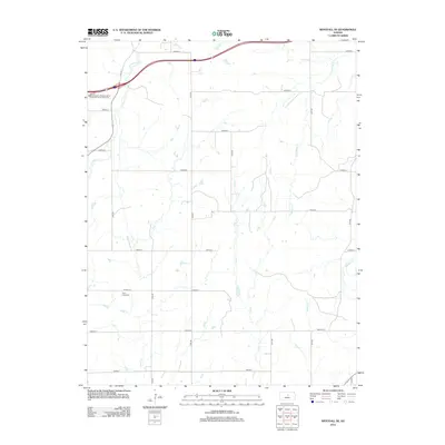
1964 Langley
Ellsworth County, KS
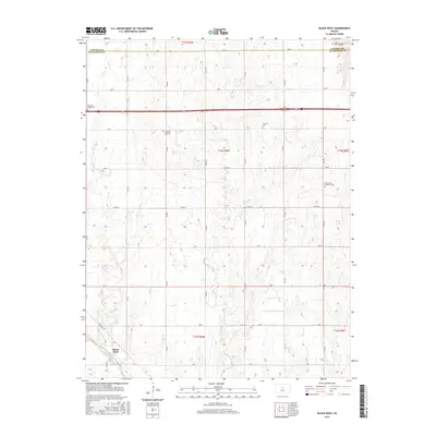
2009 Black Wolf
Ellsworth County, KS
2009 Brookville SW
Ellsworth County, KS
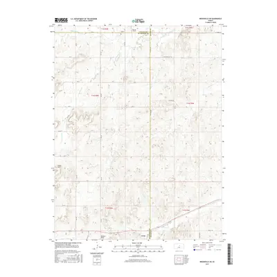
2009 Holyrood NE
Ellsworth County, KS
2009 Holyrood NW
Ellsworth County, KS
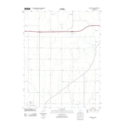
2009 Langley
Ellsworth County, KS
2009 Venango
Ellsworth County, KS
2009 Westfall SE
Ellsworth County, KS
2010 Carneiro
Ellsworth County, KS
2010 Crawford
Ellsworth County, KS
2010 Westfall SW
Ellsworth County, KS
2012 Black Wolf
Ellsworth County, KS
2012 Brookville SW
Ellsworth County, KS
2012 Carneiro
Ellsworth County, KS
2012 Crawford
Ellsworth County, KS
2012 Holyrood NE
Ellsworth County, KS
2012 Holyrood NW
Ellsworth County, KS
2012 Langley
Ellsworth County, KS
2012 Venango
Ellsworth County, KS
2012 Westfall SE
Ellsworth County, KS
2012 Westfall SW
Ellsworth County, KS
2015 Black Wolf
Ellsworth County, KS
2015 Brookville SW
Ellsworth County, KS
2015 Carneiro
Ellsworth County, KS
2015 Crawford
Ellsworth County, KS
2015 Holyrood NE
Ellsworth County, KS
2015 Holyrood NW
Ellsworth County, KS
2015 Langley
Ellsworth County, KS
2015 Venango
Ellsworth County, KS
2015 Westfall SE
Ellsworth County, KS
2015 Westfall SW
Ellsworth County, KS
2018 Black Wolf
Ellsworth County, KS
2018 Brookville SW
Ellsworth County, KS
2018 Carneiro
Ellsworth County, KS
2018 Crawford
Ellsworth County, KS
2018 Holyrood NE
Ellsworth County, KS
2018 Holyrood NW
Ellsworth County, KS
2018 Langley
Ellsworth County, KS
2018 Venango
Ellsworth County, KS
2018 Westfall SE
Ellsworth County, KS
2018 Westfall SW
Ellsworth County, KS
2022 Black Wolf
Ellsworth County, KS
2022 Brookville SW
Ellsworth County, KS
2022 Carneiro
Ellsworth County, KS
2022 Crawford
Ellsworth County, KS

2022 Holyrood NE
Ellsworth County, KS

2022 Holyrood NW
Ellsworth County, KS
2022 Langley
Ellsworth County, KS
2022 Venango
Ellsworth County, KS
2022 Westfall SE
Ellsworth County, KS
2022 Westfall SW
Ellsworth County, KS