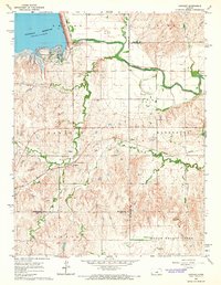
1964 Map of Langley
USGS Topo · Published 1965About this map
Kanopolis Reservoir dominates the northwest corner of this mid-century landscape, where the Smoky Hill River winds eastward across the county line from Ellsworth Co into McPherson Co. The small settlement of Langley serves as a local hub south of the river, anchored by the Missouri Pacific railroad line and supporting community life at the Langley Sch and the Langley Cem.
Find a feature on this map
25 named features on this map. Tap any name to fly to it.
Don’t see what you’re looking for? This feature index may not catch every label — zoom into the map to look around manually.
Map Details
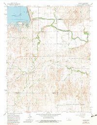
Editions of this 1964 Langley Map
2 editions found
Other maps of this area

1891 · Hutchinson
USGS Topo · 1:125,000

1892 · Salina
USGS Topo · 1:125,000

1893 · Hutchinson
USGS Topo · 1:125,000

1894 · Ellsworth
USGS Topo · 1:125,000

1894 · Lyons
USGS Topo · 1:125,000

1942 · Salina
USGS Topo · 1:125,000

1955 · Falun
USGS Topo · 1:24,000

1955 · Great Bend
USGS Topo · 1:250,000

1955 · Hutchinson
USGS Topo · 1:250,000

1957 · Great Bend
USGS Topo · 1:250,000