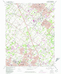
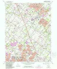
1966 Map of Lansdale
USGS Topo · Published 1974About this map
Norristown State Hospital anchors the southern edge of this Montgomery County landscape, illustrating the significant institutional footprint in the region during the mid-1960s. The survey captures a period of rapid suburban transition, where long-established townships like Towamencin and Upper Gwynedd began to see significant residential infill, indicated by purple-tinted urban extensions. The corridor of the Reading Railroad remains a central artery for the area, connecting commercial centers like Lansdale and North Wales while passing through smaller stops such as Belfry Station. Notable local landmarks like Wings Airport and Mermaid Lake appear alongside numerous educational and religious centers, including Schwenkfelder Cem and Towamencin Ch, which reflect the deep sectarian roots of these Pennsylvania communities. The landscape is further defined by the winding paths of Wissahickon Creek and Stony Creek, which cross between the industrial developments and older village centers.
Find a feature on this map
113 named features on this map. Tap any name to fly to it.
Don’t see what you’re looking for? This feature index may not catch every label — zoom into the map to look around manually.
Map Details
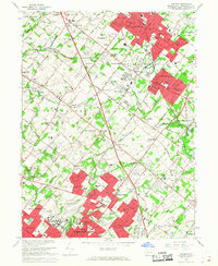
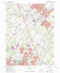
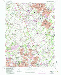
Editions of this 1966 Lansdale Map
5 editions found
Other maps of this area

1888 · Quakertown
USGS Topo · 1:62,500

1890 · Doylestown
USGS Topo · 1:62,500

1890 · Quakertown
USGS Topo · 1:62,500

1891 · Doylestown
USGS Topo · 1:62,500

1893 · Germantown
USGS Topo · 1:62,500

1894 · Quakertown
USGS Topo · 1:62,500

1894 · Norristown
USGS Topo · 1:62,500

1894 · Germantown
USGS Topo · 1:62,500

1895 · Norristown
USGS Topo · 1:62,500

1896 · Germantown
USGS Topo · 1:62,500