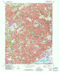
1967 Map of Lansdowne
USGS Topo · Published 1994About this map
Darby Creek and Cobbs Creek carve through a densely developed landscape of suburban Philadelphia during a period of significant infill and expansion. The map illustrates the tight-knit residential layout of established boroughs such as Lansdowne, Darby, and Drexel Hill, balanced by extensive institutional grounds and recreational spaces. Higher education and public health are central to the region's character, evidenced by the sprawling campus of Swarthmore College and the large footprint of the Haverford State Hospital.
Find a feature on this map
96 named features on this map. Tap any name to fly to it.
Don’t see what you’re looking for? This feature index may not catch every label — zoom into the map to look around manually.
Map Details
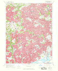
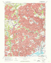
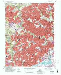
Editions of this 1967 Lansdowne Map
4 editions found
Other maps of this area

1891 · Philadelphia
USGS Topo · 1:62,500

1893 · Germantown
USGS Topo · 1:62,500

1894 · Chester
USGS Topo · 1:62,500

1894 · Philadelphia
USGS Topo · 1:62,500

1894 · Norristown
USGS Topo · 1:62,500

1894 · Germantown
USGS Topo · 1:62,500

1895 · Norristown
USGS Topo · 1:62,500

1896 · Germantown
USGS Topo · 1:62,500

1896 · Philadelphia
USGS Topo · 1:62,500

1896 · Norristown
USGS Topo · 1:62,500