Loading...
Loading map...2022 Map of Lansing
USGS Topo · Published 2022About this map
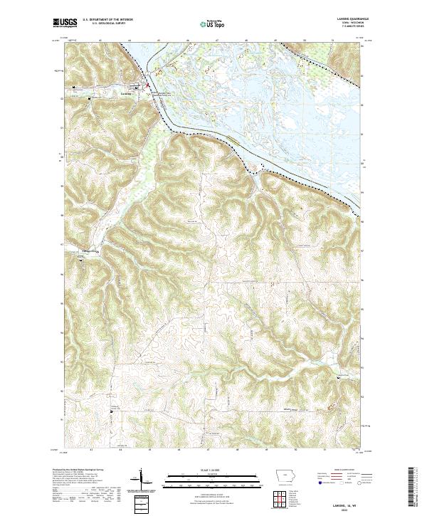
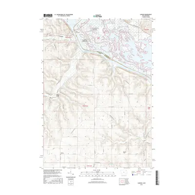
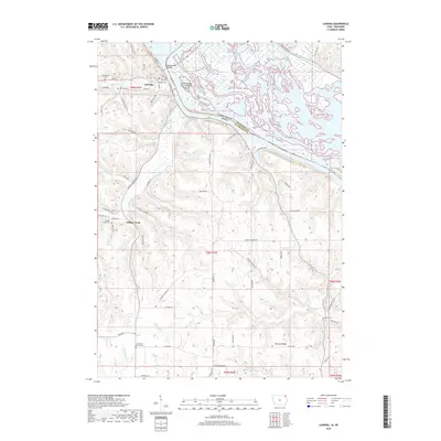
The Mississippi River carves a complex geography of sloughs and bottoms along the Iowa and Wisconsin border, defining the riverfront character of Lansing. This map details the intricate network of the Winnieshiek Bottoms and Lafayette Slough, where Island Number One Hundred Forty-six sits amidst the shifting channels. The terrain rises sharply away from the water into the high ridges of the Driftless Area, marked by Mooney Ridge and the winding course of Village Creek.
Find a feature on this map
79 named features on this map. Tap any name to fly to it.
Don’t see what you’re looking for? This feature index may not catch every label — zoom into the map to look around manually.
Map Details
Date Portrayed2022
Date Published2022
PublisherU.S. Geological Survey
Map TypeTopographic
Scale1:24,000
Physical Dimensions24 x 29 inches
Editions of this 2022 Lansing Map
This is the sole edition of this map. No revisions or reprints were ever made.
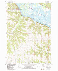
Historical Maps of Lansing Through Time
6 maps found
Featured Locations
Source Details
SourceU.S. Geological Survey
CopyrightPublic Domain