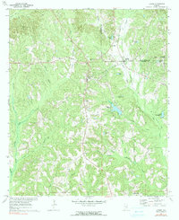
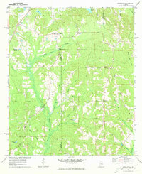
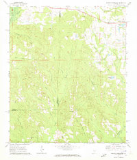
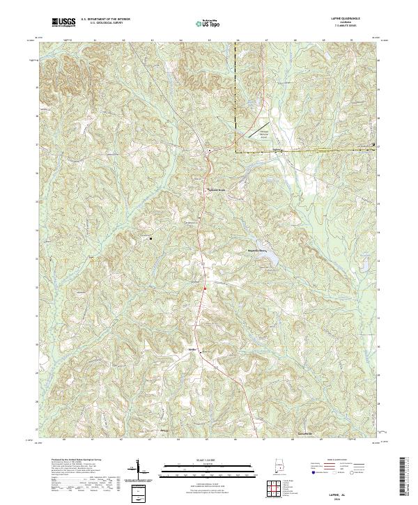
1971 Map of Lapine
USGS Topo · Published 1991About this map
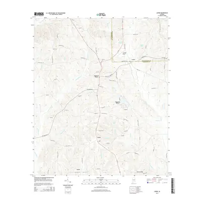
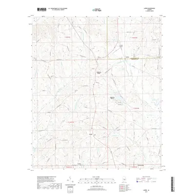
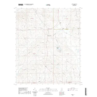
Highland Home and Lapine anchor this 1971 study of the boundary between Montgomery and Crenshaw counties. The landscape is defined by the headwaters of Little Patsaliga Creek and Pintlala Creek, where the local economy follows the drainage patterns of several named branches. Significant for family historians, the map identifies several rural burial grounds and places of worship, including Rocky Mount Cem, Cauthens Cem, and New Ebenezer Ch. A notable industrial artifact is the Old Railroad Grade running north-south through the eastern half of the quadrangle, tracing the path of former rail commerce through Sardis and Garnersville. The emergence of lakeside development is visible at Magnolia Shores, while older water features like Paynes Pond and Lake Bradleyton reflect the area's agricultural and recreational roots.
Find a feature on this map
39 named features on this map. Tap any name to fly to it.
Don’t see what you’re looking for? This feature index may not catch every label — zoom into the map to look around manually.
Map Details
Editions of this 1971 Lapine Map
2 editions found
Historical Maps of Magnolia Shores Through Time
48 maps found
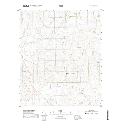
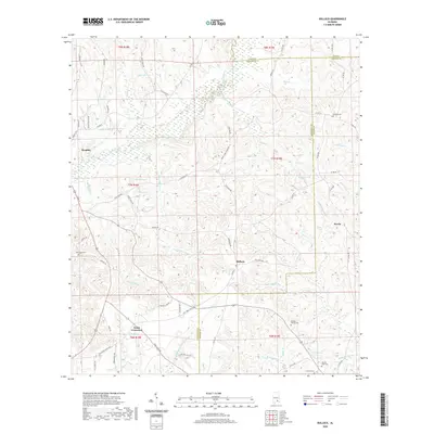
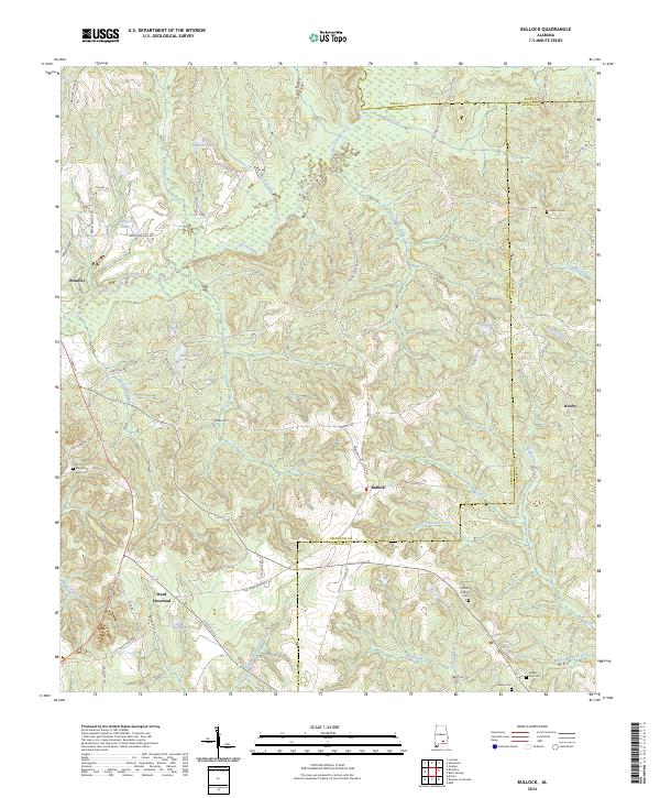
1968 Bullock
Crenshaw County, AL
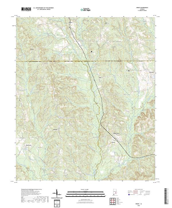
1968 Grady
Crenshaw County, AL
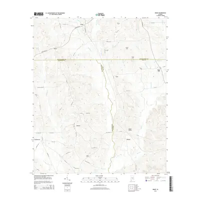
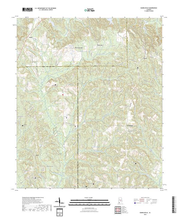
1971 Danielsville
Crenshaw County, AL
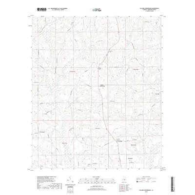
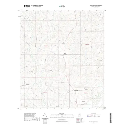
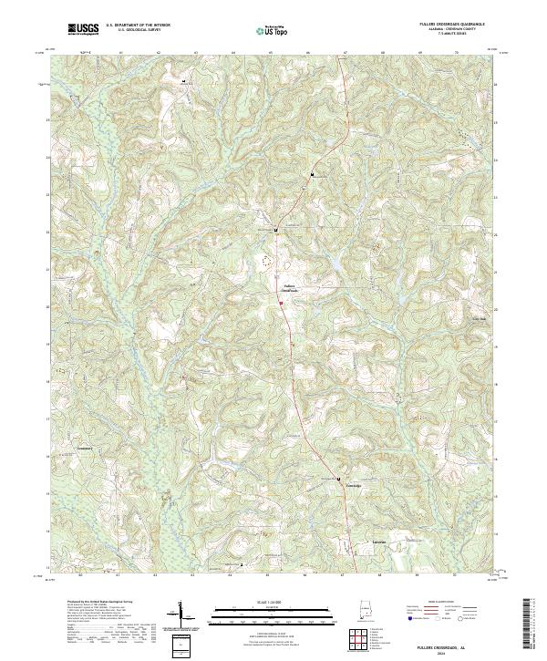
1971 Fullers Crossroads
Crenshaw County, AL
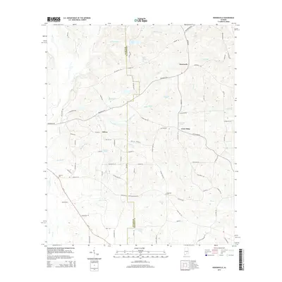
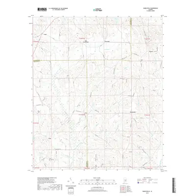
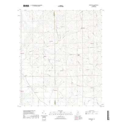
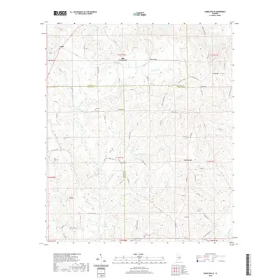
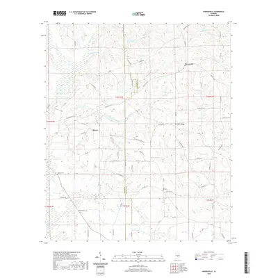
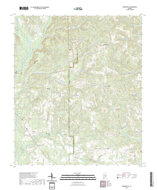
1971 Honoraville
Crenshaw County, AL
1971 Lapine
Crenshaw County, AL
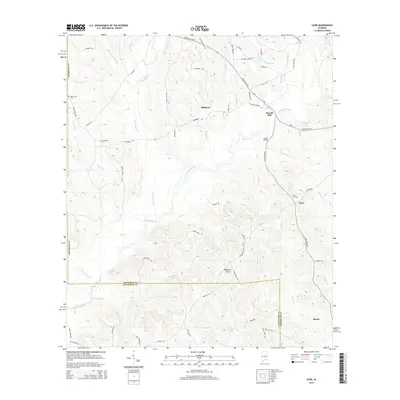
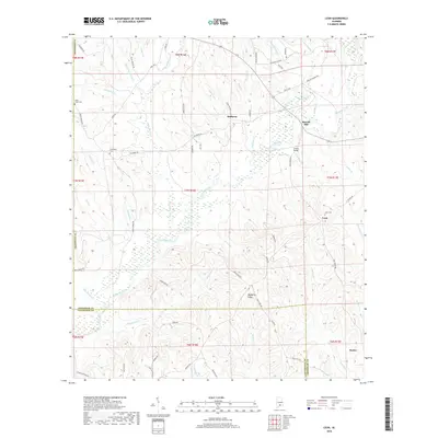
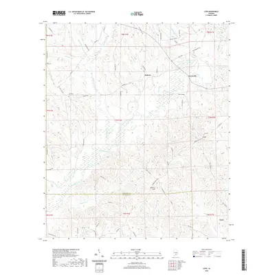
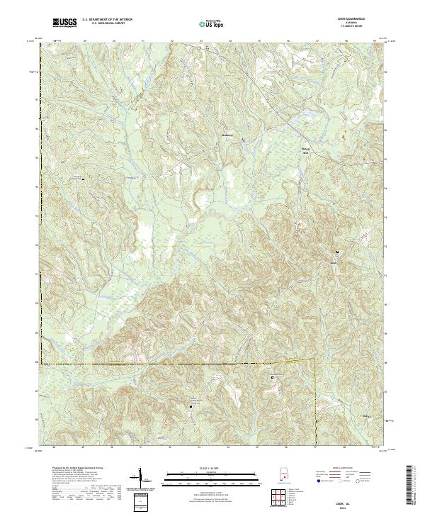
1971 Leon
Crenshaw County, AL
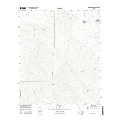
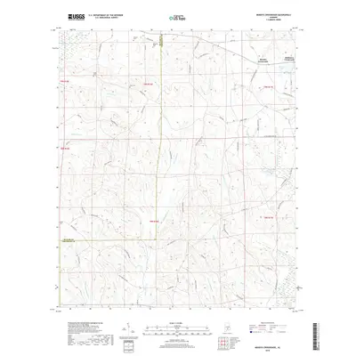
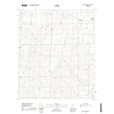
1971 Moodys Crossroads
Crenshaw County, AL
2011 Bullock
Crenshaw County, AL
2011 Danielsville
Crenshaw County, AL
2011 Fullers Crossroads
Crenshaw County, AL
2011 Grady
Crenshaw County, AL
2011 Honoraville
Crenshaw County, AL
2011 Lapine
Crenshaw County, AL
2011 Leon
Crenshaw County, AL
2011 Moodys Crossroads
Crenshaw County, AL
2014 Bullock
Crenshaw County, AL
2014 Danielsville
Crenshaw County, AL
2014 Fullers Crossroads
Crenshaw County, AL
2014 Grady
Crenshaw County, AL
2014 Honoraville
Crenshaw County, AL
2014 Lapine
Crenshaw County, AL
2014 Leon
Crenshaw County, AL
2014 Moodys Crossroads
Crenshaw County, AL
2018 Bullock
Crenshaw County, AL
2018 Danielsville
Crenshaw County, AL
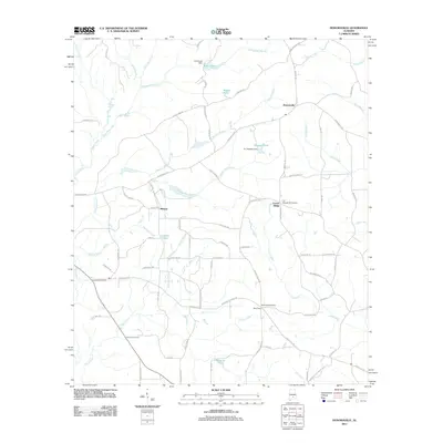
2018 Fullers Crossroads
Crenshaw County, AL
2018 Grady
Crenshaw County, AL
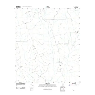
2018 Honoraville
Crenshaw County, AL
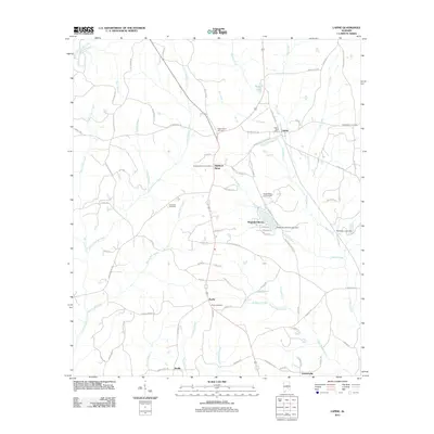
2018 Lapine
Crenshaw County, AL
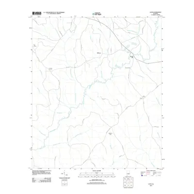
2018 Leon
Crenshaw County, AL
2018 Moodys Crossroads
Crenshaw County, AL
2020 Bullock
Crenshaw County, AL
2020 Danielsville
Crenshaw County, AL
2020 Fullers Crossroads
Crenshaw County, AL
2020 Grady
Crenshaw County, AL
2020 Honoraville
Crenshaw County, AL
2020 Lapine
Crenshaw County, AL
2020 Leon
Crenshaw County, AL
2020 Moodys Crossroads
Crenshaw County, AL
2024 Bullock
Crenshaw County, AL
2024 Danielsville
Crenshaw County, AL
2024 Fullers Crossroads
Crenshaw County, AL
2024 Grady
Crenshaw County, AL
2024 Honoraville
Crenshaw County, AL
2024 Lapine
Crenshaw County, AL
2024 Leon
Crenshaw County, AL
2024 Moodys Crossroads
Crenshaw County, AL