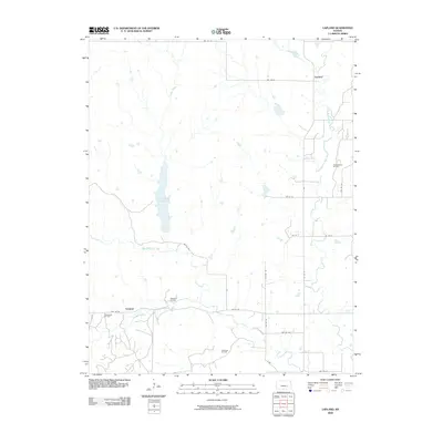
2009 Map of Lapland
USGS Topo · Published 2009About this map
Otis Creek Reservoir and the surrounding drainage of the East Branch Fall River characterize this portion of Greenwood County in the early 21st century. The landscape is defined by its rural character and the enduring influence of the local petroleum industry, with several active fields distributed across the terrain. These including the Thrall-Aagard Oil Field in the northeast and the Polhamas Oil Field to the south. Small settlements like Lapland and Ivanpah serve as the primary human landmarks amidst a web of section-line roads and winding waterways. The intersection of natural water systems, such as Ivanpah Creek and Oleson Creek, with managed resources like the Wilkerson Oil Field illustrates the region's historical reliance on both water and mineral extraction. This survey provides a clear look at the township-range layout of the Kansas plains, where naming conventions often follow family lineages or local geography.
Find a feature on this map
27 named features on this map. Tap any name to fly to it.
Don’t see what you’re looking for? This feature index may not catch every label — zoom into the map to look around manually.
Map Details
Editions of this 2009 Lapland Map
This is the sole edition of this map. No revisions or reprints were ever made.
Other maps of this area

1885 · Eureka
USGS Topo · 1:125,000

1888 · Emporia
USGS Topo · 1:125,000

1888 · Eureka
USGS Topo · 1:125,000

1888 · Eldorado
USGS Topo · 1:125,000

1894 · Emporia
USGS Topo · 1:125,000

1894 · Eureka
USGS Topo · 1:125,000

1898 · Cottonwood Falls
USGS Topo · 1:125,000

1955 · Wichita
USGS Topo · 1:250,000

1955 · Hutchinson
USGS Topo · 1:250,000

1958 · Wichita
USGS Topo · 1:250,000