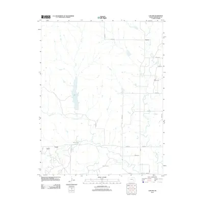
2012 Map of Lapland
USGS Topo · Published 2012About this map
Lapland and Ivanpah anchor this Greenwood County landscape, where the prairie economy is defined by a distinct network of energy extraction and water management. The terrain is marked by several active production zones, including the Thrall-Aagard Oil Field in the northeast and the Wilkerson Oil Field further south, illustrating the industrial footprint on the rural Flint Hills region. These fields are connected by a grid of township roads such as TWP HWY 57 and TWP HWY 341, which navigate a drainage system dominated by the W Br Fall River and E Br Fall River.
Find a feature on this map
30 named features on this map. Tap any name to fly to it.
Don’t see what you’re looking for? This feature index may not catch every label — zoom into the map to look around manually.
Map Details
Editions of this 2012 Lapland Map
This is the sole edition of this map. No revisions or reprints were ever made.
Other maps of this area

1885 · Eureka
USGS Topo · 1:125,000

1888 · Emporia
USGS Topo · 1:125,000

1888 · Eureka
USGS Topo · 1:125,000

1888 · Eldorado
USGS Topo · 1:125,000

1894 · Emporia
USGS Topo · 1:125,000

1894 · Eureka
USGS Topo · 1:125,000

1898 · Cottonwood Falls
USGS Topo · 1:125,000

1955 · Wichita
USGS Topo · 1:250,000

1955 · Hutchinson
USGS Topo · 1:250,000

1958 · Wichita
USGS Topo · 1:250,000