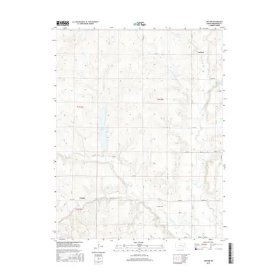
2015 Map of Lapland
USGS Topo · Published 2015About this map
Lapland and Ivanpah anchor this section of Greenwood County, where the high prairie is dissected by the multiple branches of the Fall River. The landscape is defined by the headwaters of the W Br Fall River and the E Br Fall River, creating a rolling topography where small drainages like Oleson Cr and Swing Cr feed into the larger river system. A significant man-made feature is the Otis Cr Reservoir, which impounds Otis Cr in the western part of the township.
Find a feature on this map
40 named features on this map. Tap any name to fly to it.
Don’t see what you’re looking for? This feature index may not catch every label — zoom into the map to look around manually.
Map Details
Editions of this 2015 Lapland Map
This is the sole edition of this map. No revisions or reprints were ever made.
Other maps of this area

1885 · Eureka
USGS Topo · 1:125,000

1888 · Emporia
USGS Topo · 1:125,000

1888 · Eureka
USGS Topo · 1:125,000

1888 · Eldorado
USGS Topo · 1:125,000

1894 · Emporia
USGS Topo · 1:125,000

1894 · Eureka
USGS Topo · 1:125,000

1898 · Cottonwood Falls
USGS Topo · 1:125,000

1955 · Wichita
USGS Topo · 1:250,000

1955 · Hutchinson
USGS Topo · 1:250,000

1958 · Wichita
USGS Topo · 1:250,000