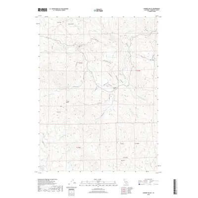
2018 Map of Larabee Valley
USGS Topo · Published 2018About this map
Larabee Valley and the surrounding high country of Humboldt County are defined by the winding course of the Van Duzen River and its major tributary, the Little Van Duzen River. This mountain landscape is marked by prominent peaks such as McClellan Mtn and Charles Mtn, separated by high flats like Alder Flat and Azbil Flat. The presence of China Mine Camp Rd and China Mine Rd suggests a history of resource extraction near Larabee Buttes, while local ranching and timber heritage is evident in the naming of Burr Valley and the network of access roads like Coyote Ridge Rd. Smaller water features, including Kergerson Lake and the aptly named Dry Lake, provide specific points of interest for those studying the remote hydrography of the northern Coast Ranges.
Find a feature on this map
58 named features on this map. Tap any name to fly to it.
Don’t see what you’re looking for? This feature index may not catch every label — zoom into the map to look around manually.
Map Details
Editions of this 2018 Larabee Valley Map
This is the sole edition of this map. No revisions or reprints were ever made.
Other maps of this area

1914 · Pilot Creek
USGS Topo · 1:62,500

1915 · Big Bar and Vicinity
USGS Topo · 1:250,000

1921 · Dyerville
USGS Topo · 1:62,500

1922 · Kneeland
USGS Topo · 1:62,500

1949 · Blocksburg
USGS Topo · 1:62,500

1949 · Weott
USGS Topo · 1:62,500

1950 · Iaqua Buttes
USGS Topo · 1:62,500

1951 · Weott
USGS Topo · 1:62,500

1951 · Blocksburg
USGS Topo · 1:62,500

1951 · Pilot Creek
USGS Topo · 1:62,500