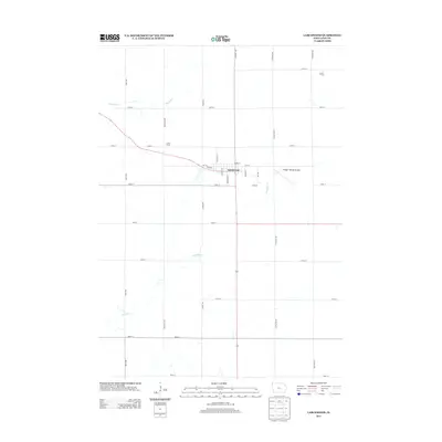
2013 Map of Larchwood
USGS Topo · Published 2013About this map
Larchwood serves as the central hub of this Lyon County landscape, where a grid of rural section roads divides a territory defined by agricultural production. The town itself is compactly situated at the junction of several local routes, including Williams St and Broadway St. The surrounding countryside is dotted with established family operations such as Funke Farms and B and G Farm, reflecting the long-standing farming tradition of the region.
Find a feature on this map
31 named features on this map. Tap any name to fly to it.
Don’t see what you’re looking for? This feature index may not catch every label — zoom into the map to look around manually.
Map Details
Editions of this 2013 Larchwood Map
This is the sole edition of this map. No revisions or reprints were ever made.
Other maps of this area

1897 · Canton
USGS Topo · 1:125,000

1900 · Canton
USGS Topo · 1:125,000

1955 · Sioux Falls
USGS Topo · 1:250,000

1958 · Sioux Falls
USGS Topo · 1:250,000

1962 · Klondike
USGS Topo · 1:24,000

1962 · Canton
USGS Topo · 1:24,000

1962 · Brandon
USGS Topo · 1:24,000

1967 · Valley Springs
USGS Topo · 1:24,000

1967 · Hills
USGS Topo · 1:24,000

1971 · Lester
USGS Topo · 1:24,000