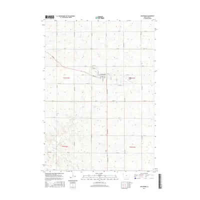
2015 Map of Larchwood
USGS Topo · Published 2015About this map
Larchwood serves as the central hub for this portion of Lyon County, situated within a landscape of surveyed sections and rural road networks. The town's grid is anchored by routes like Holder St and Chestnut Ave, while its local history is preserved at the Larchwood Cem and Saint Marys Cem on the northern edge of the settlement. Just east of town, the Zangger Vintage Airpark reflects the region's long-standing aviation utility, a common sight in the agricultural plains of northwest Iowa.
Find a feature on this map
41 named features on this map. Tap any name to fly to it.
Don’t see what you’re looking for? This feature index may not catch every label — zoom into the map to look around manually.
Map Details
Editions of this 2015 Larchwood Map
This is the sole edition of this map. No revisions or reprints were ever made.
Other maps of this area

1897 · Canton
USGS Topo · 1:125,000

1900 · Canton
USGS Topo · 1:125,000

1955 · Sioux Falls
USGS Topo · 1:250,000

1958 · Sioux Falls
USGS Topo · 1:250,000

1962 · Klondike
USGS Topo · 1:24,000

1962 · Canton
USGS Topo · 1:24,000

1962 · Brandon
USGS Topo · 1:24,000

1967 · Valley Springs
USGS Topo · 1:24,000

1967 · Hills
USGS Topo · 1:24,000

1971 · Lester
USGS Topo · 1:24,000