
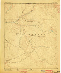
1895 Map of Largo
USGS Topo · Published 1897About this map
The confluence of the Animas River and San Juan River anchors this late 19th-century survey of Rio Arriba county. The high-desert landscape is defined by a complex network of drainage systems, most notably the massive Canon Largo and Gobernador Canyon, which provided critical pathways through the broken terrain. Early settlement is concentrated near the riverbanks at Bloomfield and the namesake village of Largo, while the interior remains a territory of distinct landmarks like El Huerfano and Angels Peak. This topography, based on data from the Hayden and Davis surveys, captures a period when the region's geography was being systematically documented before modern infrastructure. To the east, the curious hydrology of Stinking Lakes and the Sinks offers a contrast to the dry washes of Escavada Wash and Chaco Canyon to the southwest.
Find a feature on this map
25 named features on this map. Tap any name to fly to it.
Don’t see what you’re looking for? This feature index may not catch every label — zoom into the map to look around manually.
Map Details
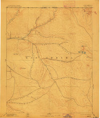
Editions of this 1895 Largo Map
3 editions found
Other maps of this area

1883 · Mt. Taylor
USGS Topo · 1:250,000

1886 · Wingate
USGS Topo · 1:250,000

1886 · Mt. Taylor
USGS Topo · 1:250,000

1889 · Largo
USGS Topo · 1:250,000

1889 · Chaco
USGS Topo · 1:250,000

1890 · Jemes
USGS Topo · 1:125,000

1892 · Jemes
USGS Topo · 1:125,000

1892 · Wingate
USGS Topo · 1:250,000

1892 · Chaco
USGS Topo · 1:250,000

1892 · Mt. Taylor
USGS Topo · 1:250,000