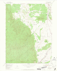
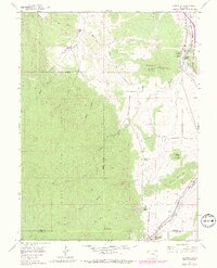
1954 Map of Larkspur
USGS Topo · Published 1965About this map
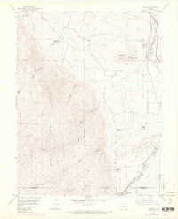
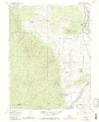
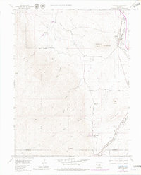
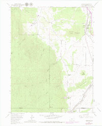
Larkspur and the surrounding Front Range landscape appear here as they were in the mid-1950s, defined by a dual-railroad corridor and the transition from prairie to mountain forest. The Atchison Topeka and Santa Fe and Denver and Rio Grande Western railroads run parallel through the valley, anchoring the local economy and movement. To the west, the Pike National Forest boundary marks a sharp rise in elevation toward peaks like Storm Peak and the distinctive formation of Monkey Face near Raspberry Butte.
Find a feature on this map
34 named features on this map. Tap any name to fly to it.
Don’t see what you’re looking for? This feature index may not catch every label — zoom into the map to look around manually.
Map Details
Editions of this 1954 Larkspur Map
9 editions found
Other maps of this area

1893 · Platte Canyon
USGS Topo · 1:125,000

1894 · Castle Rock
USGS Topo · 1:125,000

1913 · Castle Rock
USGS Topo · 1:125,000

1940 · Castle Rock
USGS Topo · 1:62,500

1945 · Castle Rock
USGS Topo · 1:62,500

1953 · Denver
USGS Topo · 1:250,000

1954 · Devils Head
USGS Topo · 1:24,000
1954 · Monument
USGS Topo · 1:24,000
1954 · Greenland
USGS Topo · 1:24,000

1954 · Mount Deception
USGS Topo · 1:24,000