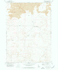
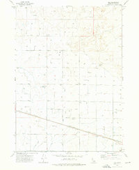
1972 Map of Larkspur Park
USGS Topo · Published 1977About this map
Larkspur Park and the surrounding high desert terrain are defined by extensive Lava beds in this early 1970s survey. The landscape is marked by a series of small water catchments and natural basins, such as School Section Lake and Green Lake, which were critical for managing livestock in this arid portion of Idaho. Human presence is sparse, represented primarily by isolated infrastructure like the Brigham Point Trapper Cabin and a Water Tank near the township boundary.
Find a feature on this map
14 named features on this map. Tap any name to fly to it.
Don’t see what you’re looking for? This feature index may not catch every label — zoom into the map to look around manually.
Map Details
Editions of this 1972 Larkspur Park Map
This is the sole edition of this map. No revisions or reprints were ever made.
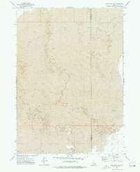
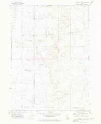
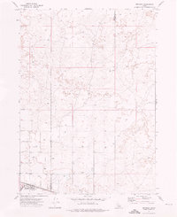
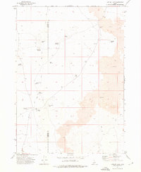
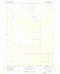
Other maps of this area

1954 · Pocatello
USGS Topo · 1:250,000

1955 · Idaho Falls
USGS Topo · 1:250,000

1958 · Idaho Falls
USGS Topo · 1:250,000

1958 · Pocatello
USGS Topo · 1:250,000
1972 · Bear Park SW
USGS Topo · 1:24,000
1972 · Community Lake
USGS Topo · 1:24,000
1972 · Minidoka
USGS Topo · 1:24,000
1972 · Max
USGS Topo · 1:24,000
1972 · Laidlaw Lake
USGS Topo · 1:24,000
1972 · Bottleneck Lake
USGS Topo · 1:24,000