1972 Map of Minidoka
USGS Topo · Published 1976About this map
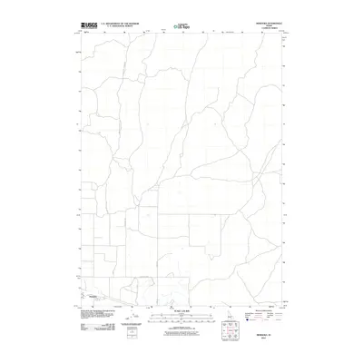
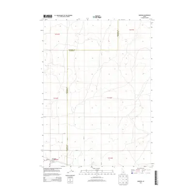
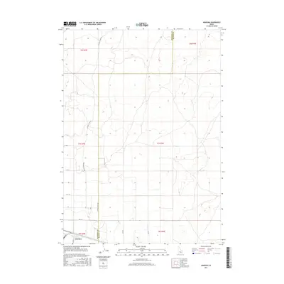
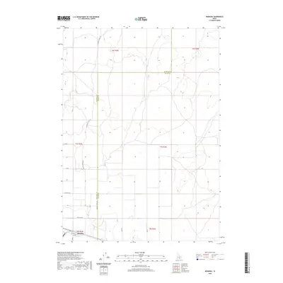
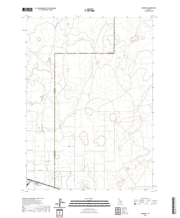
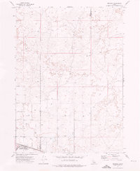
Minidoka serves as the primary focal point of this Idaho landscape, situated along the Union Pacific rail line. The settlement's layout is defined by a grid of agricultural and transport arteries, including Cherry Road and 1000 North Road, which underscore the region's development as a rural junction. The surrounding terrain is largely defined by numerous subterranean water sources, marked as Well, and topographic features such as Red Hill. The presence of a Landing Strip and a WT tower near the rail line suggests the area's role as a small but functional logistics hub. Spanning the Minidoka Co and Blaine Co line, the map documents a transition from structured town planning to the open basalt and desert features characteristic of the Snake River Plain in the early 1970s.
Find a feature on this map
13 named features on this map. Tap any name to fly to it.
Don’t see what you’re looking for? This feature index may not catch every label — zoom into the map to look around manually.
Map Details
Editions of this 1972 Minidoka Map
This is the sole edition of this map. No revisions or reprints were ever made.
Historical Maps of Minidoka Through Time
6 maps found