
1972 Map of Schodde Well
USGS Topo · Published 1975About this map
The Wapi Lava Flow dominates this Idaho landscape, where volcanic topography dictates the placement of scarce human infrastructure. Water access is the primary concern for anyone traversing this arid stretch of Blaine County, as evidenced by isolated landmarks like Schodde Well and Point Well. These water points, along with a solitary Corral, suggest a landscape managed for livestock despite the unforgiving surface of the surrounding Lava Flow.
Find a feature on this map
13 named features on this map. Tap any name to fly to it.
Don’t see what you’re looking for? This feature index may not catch every label — zoom into the map to look around manually.
Map Details
Editions of this 1972 Schodde Well Map
This is the sole edition of this map. No revisions or reprints were ever made.
Other maps of this area

1954 · Pocatello
USGS Topo · 1:250,000

1958 · Pocatello
USGS Topo · 1:250,000

1959 · Lake Walcott
USGS Topo · 1:62,500

1959 · Yale
USGS Topo · 1:62,500
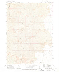
1972 · Rattlesnake Butte
USGS Topo · 1:24,000

1972 · Bear Trap Cave
USGS Topo · 1:24,000

1972 · Minidoka
USGS Topo · 1:24,000
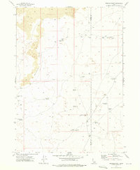
1972 · Brigham Point
USGS Topo · 1:24,000
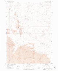
1972 · Pillar Butte
USGS Topo · 1:24,000
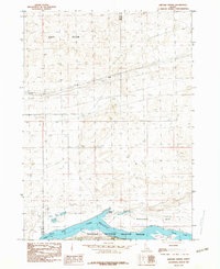
1984 · Gifford Spring
USGS Topo · 1:24,000