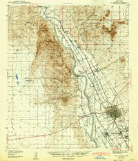
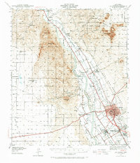
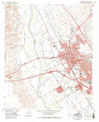
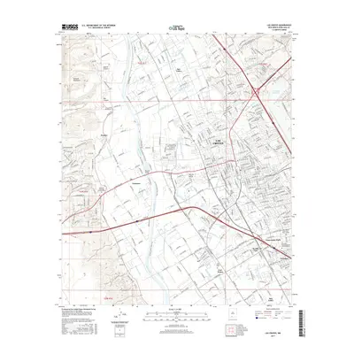
1943 Map of Las Cruces
USGS Topo · Published 1943About this map
Las Cruces and its surrounding agricultural colonies define this 1940s landscape along the valley of the Rio Grande. The map documents a critical period of infrastructure, showing a sophisticated network of water management features including the Leasburg Canal, Las Cruces Lateral, and Mesilla Drainage Canal. These systems supported the growth of settlements like Shalem Colony and Fairacres, while the Atchison Topeka and Santa Fe RR provided the primary industrial link to the wider region.
Find a feature on this map
53 named features on this map. Tap any name to fly to it.
Don’t see what you’re looking for? This feature index may not catch every label — zoom into the map to look around manually.
Map Details
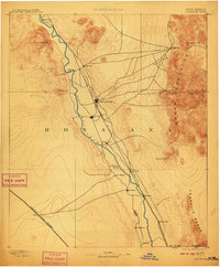
Editions of this 1943 Las Cruces Map
This is the sole edition of this map. No revisions or reprints were ever made.
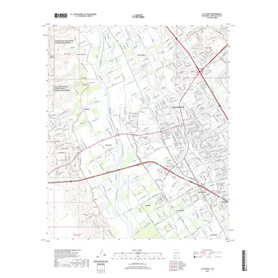
Historical Maps of Las Cruces Through Time
14 maps found

1891 Las Cruces
Doña Ana County, NM
1893 Las Cruces
Doña Ana County, NM
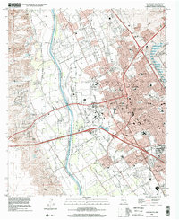
1941 Las Cruces
Doña Ana County, NM
1943 Las Cruces
Doña Ana County, NM
1955 Las Cruces
Doña Ana County, NM

1958 Las Cruces
Doña Ana County, NM
1978 Las Cruces
Doña Ana County, NM

1982 Las Cruces
Doña Ana County, NM
1996 Las Cruces
Doña Ana County, NM
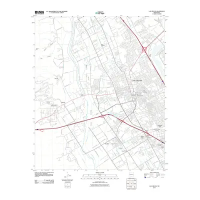
2010 Las Cruces
Doña Ana County, NM
2013 Las Cruces
Doña Ana County, NM
2017 Las Cruces
Doña Ana County, NM
2020 Las Cruces
Doña Ana County, NM
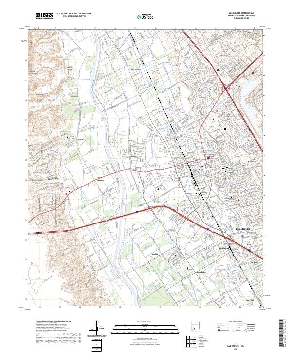
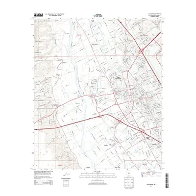
2023 Las Cruces
Doña Ana County, NM