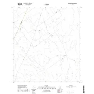
2019 Map of Las Escobas Ranch
USGS Topo · Published 2019About this map
The south Texas rangeland of the Zapata Co Starr Co boundary is defined by a series of intermittent drainages and isolated family ranching landmarks. Las Escobas Ranch serves as a primary point of reference in this landscape, situated near the headwaters of Las Escobas Cr. The network of unpaved roads, including Loma Blanca Rd and San Roman Rd, connects several dispersed burial sites that reflect the area's ancestral settlement patterns. These include Buena Vista Cem, Uña de Gato Cem, and Agua Dulce Cem. The terrain is etched by seasonal watercourses like Del Puerto Cr and El Chapote Cr, which shape the geography of these remote ranching corridors.
Find a feature on this map
15 named features on this map. Tap any name to fly to it.
Don’t see what you’re looking for? This feature index may not catch every label — zoom into the map to look around manually.
Map Details
Editions of this 2019 Las Escobas Ranch Map
This is the sole edition of this map. No revisions or reprints were ever made.
Other maps of this area

1938 · Falcon
USGS Topo · 1:62,500

1938 · El Sauz
USGS Topo · 1:62,500

1938 · Cuevitas
USGS Topo · 1:62,500

1949 · Mc Allen
USGS Topo · 1:250,000

1954 · McAllen
USGS Topo · 1:250,000

1956 · Arroyo Clareno
USGS Topo · 1:62,500

1957 · Mc Allen
USGS Topo · 1:250,000

1962 · McAllen
USGS Topo · 1:250,000

1965 · Salineno
USGS Topo · 1:24,000

1965 · Lopeno
USGS Topo · 1:24,000