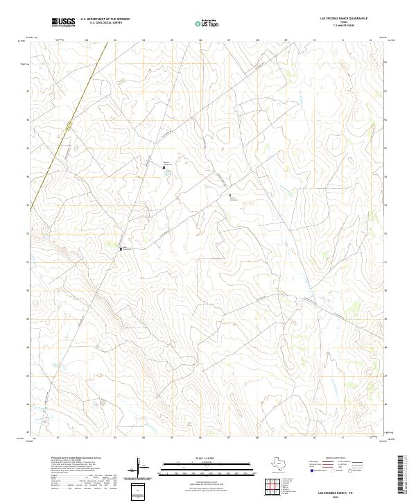
2022 Map of Las Escobas Ranch
USGS Topo · Published 2022About this map
Ranching roads and ephemeral creek beds define this portion of South Texas along the Zapata and Starr county line. The landscape is marked by several small family or community burial grounds, including Buena Vista Cem, Agua Dulce Cem, and Una De Gato Cem, which serve as quiet anchors for the local genealogy of the region. These sites are linked by a network of rural routes like Loma Blanca Rd and San Roman Rd that traverse the dry brushland. The drainage patterns of Del Puerto Cr and Las Escobas Cr illustrate the arid hydrology of the area, where water moves through seasonal channels toward the Rio Grande basin. This 2022 survey provides a clear view of the modern property boundaries and access roads that characterize contemporary land use in this part of the Rio Grande Valley hinterlands.
Find a feature on this map
14 named features on this map. Tap any name to fly to it.
Don’t see what you’re looking for? This feature index may not catch every label — zoom into the map to look around manually.
Map Details
Editions of this 2022 Las Escobas Ranch Map
This is the sole edition of this map. No revisions or reprints were ever made.
Other maps of this area

1938 · Falcon
USGS Topo · 1:62,500

1938 · El Sauz
USGS Topo · 1:62,500

1938 · Cuevitas
USGS Topo · 1:62,500

1949 · Mc Allen
USGS Topo · 1:250,000

1954 · McAllen
USGS Topo · 1:250,000

1956 · Arroyo Clareno
USGS Topo · 1:62,500

1957 · Mc Allen
USGS Topo · 1:250,000

1962 · McAllen
USGS Topo · 1:250,000

1965 · Salineno
USGS Topo · 1:24,000

1965 · Lopeno
USGS Topo · 1:24,000