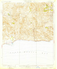
1932 Map of Las Flores
USGS Topo · Published 1932About this map
Malibu and the south-facing slopes of the Santa Monica Mountains are depicted here during the early 1930s, just as the coastal corridor was beginning to develop along the State Highway. The map illustrates a landscape of deep canyons and steep ridges, with early settlements like Malibu Beach, Las Flores, and Big Rock hugging the shoreline of Santa Monica Bay. Further inland, the terrain is dotted with early 20th-century outposts and landmarks including Stunts Ranch, Monte Nido, and Crater Camp. This 1929 survey reveals the area before the era of intensive suburban expansion, showing a network of rural roads winding through Topanga Canyon and Dark Canyon. Topographic details highlight the prominence of Saddle Peak and the complex drainage of Malibu Creek, providing a foundational look at the geography of western Los Angeles County before modern development transformed the canyons.
Find a feature on this map
28 named features on this map. Tap any name to fly to it.
Don’t see what you’re looking for? This feature index may not catch every label — zoom into the map to look around manually.
Map Details
Editions of this 1932 Las Flores Map
2 editions found
Other maps of this area

1903 · Calabasas
USGS Topo · 1:62,500

1903 · Camulos
USGS Topo · 1:125,000

1928 · Dry Canyon
USGS Topo · 1:24,000
1928 · Reseda
USGS Topo · 1:24,000
1928 · Topanga Canyon
USGS Topo · 1:24,000
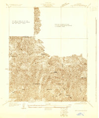
1929 · Dry Canyon
USGS Topo · 1:24,000

1929 · Vejor
USGS Topo · 1:24,000

1929 · Solstice Canyon
USGS Topo · 1:24,000

1932 · Seminole
USGS Topo · 1:24,000
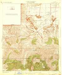
1932 · Dry Canyon
USGS Topo · 1:24,000
Featured Places
- Malibu, CA
- Topanga, CA
- Crater Camp, Unincorporated Santa Monica Mountains
- Las Flores, Malibu
- Fernwood, Topanga