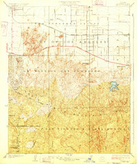
1928 Map of Reseda
USGS Topo · Published 1928About this map
The San Fernando Valley of the late 1920s appears here as a landscape of emerging citrus groves and small agricultural communities just beginning to transform into the suburban reaches of the City of Los Angeles. Early settlements like Owensmouth and Girard anchor the western valley, while the Southern Pacific rail line and Reseda Siding facilitate the movement of goods along the valley floor. The geography is sharply divided by the City Boundary running along the crest of the Santa Monica Mountains.
Find a feature on this map
33 named features on this map. Tap any name to fly to it.
Don’t see what you’re looking for? This feature index may not catch every label — zoom into the map to look around manually.
Map Details
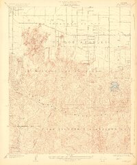
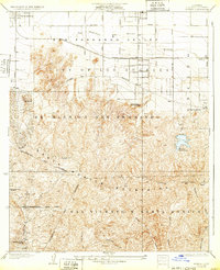
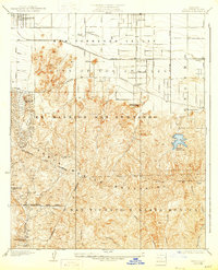
Editions of this 1928 Reseda Map
4 editions found
Other maps of this area

1894 · Los Angeles
USGS Topo · 1:62,500

1896 · Santa Monica
USGS Topo · 1:62,500

1898 · Santa Monica
USGS Topo · 1:62,500

1900 · Los Angeles
USGS Topo · 1:62,500

1901 · Southern California Sheet No. 1
USGS Topo · 1:250,000

1902 · Santa Monica
USGS Topo · 1:62,500

1903 · Calabasas
USGS Topo · 1:62,500

1903 · Camulos
USGS Topo · 1:125,000

1904 · Southern California Sheet No. 1
USGS Topo · 1:250,000

1920 · Santa Monica
USGS Topo · 1:62,500