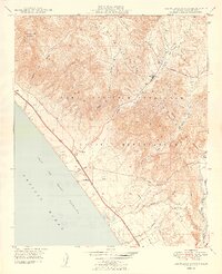
1949 Map of Las Pulgas Canyon
USGS Topo · Published 1949About this map
Camp Joseph H Pendleton Naval Reservation dominates this coastal landscape just after the war, illustrating a transition from historic rancho lands to a vital military training ground. The coastline is defined by the Atchison Topeka and Santa Fe Coast Highway, which skirts the Gulf of Santa Catalina and connects small outposts like Agra, Don, and Las Flores. A significant point of local history is the presence of the Las Flores Mission Ruins near the mouth of Las Flores Creek, marking the deep cultural heritage of the area prior to its mid-century development.
Find a feature on this map
24 named features on this map. Tap any name to fly to it.
Don’t see what you’re looking for? This feature index may not catch every label — zoom into the map to look around manually.
Map Details
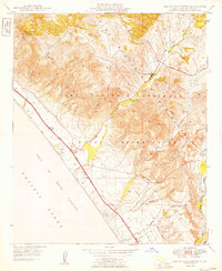
Editions of this 1949 Las Pulgas Canyon Map
2 editions found
Other maps of this area

1893 · Oceanside
USGS Topo · 1:62,500

1898 · Oceanside
USGS Topo · 1:62,500

1901 · Oceanside
USGS Topo · 1:62,500

1901 · San Luis Rey
USGS Topo · 1:125,000

1902 · Capistrano
USGS Topo · 1:125,000

1904 · Southern California Sheet No. 2
USGS Topo · 1:250,000

1906 · Capistrano
USGS Topo · 1:125,000

1941 · Margarita Peak
USGS Topo · 1:62,500

1942 · Margarita Peak
USGS Topo · 1:62,500

1942 · San Juan Capistrano
USGS Topo · 1:62,500
Featured Places
- Marine Corps Base Camp Pendleton, CA
- Las Flores, Marine Corps Base Camp Pendleton
- San Diego County, CA
- United States
- California