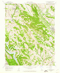
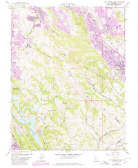
1959 Map of Las Trampas Ridge
USGS Topo · Published 1960About this map
The hills and canyons of central Contra Costa County are documented here during a period of significant postwar growth. The landscape is anchored by St Marys College and the suburban expansion of Lafayette, Moraga, and Alamo. To the south, the terrain becomes more defined by the high elevations of Las Trampas Peak and Rocky Ridge, which separate the developing residential valleys from the water management infrastructure of the Upper San Leandro Reservoir.
Find a feature on this map
40 named features on this map. Tap any name to fly to it.
Don’t see what you’re looking for? This feature index may not catch every label — zoom into the map to look around manually.
Map Details
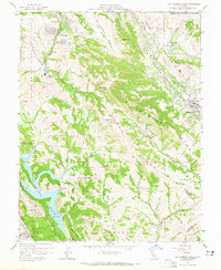
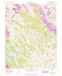
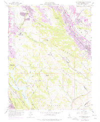
Editions of this 1959 Las Trampas Ridge Map
5 editions found
Other maps of this area

1896 · Mt. Diablo
USGS Topo · 1:62,500

1897 · Concord
USGS Topo · 1:62,500

1898 · Mt. Diablo
USGS Topo · 1:62,500

1899 · Haywards
USGS Topo · 1:62,500

1906 · Pleasanton
USGS Topo · 1:62,500

1915 · Haywards
USGS Topo · 1:62,500

1915 · Concord
USGS Topo · 1:62,500

1941 · Pleasanton
USGS Topo · 1:62,500

1942 · Concord
USGS Topo · 1:62,500

1942 · Hayward
USGS Topo · 1:62,500