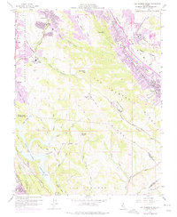
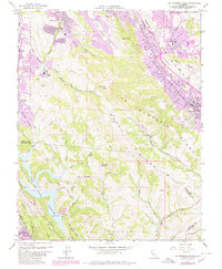
1959 Map of Las Trampas Ridge
USGS Topo · Published 1975About this map
Las Trampas Ridge and Rocky Ridge dominate the central topography of this 1959 survey, which was photorevised in the early 1970s to show the rapid suburban expansion into the surrounding valleys. The transition from agricultural land to residential developments is visible in the purple-tinted urban extensions around Lafayette, Alamo, and Danville. The map illustrates a complex network of canyons and peaks, including Las Trampas Peak and Ramage Peak, that separate the developing San Ramon Valley from the more secluded Moraga Valley.
Find a feature on this map
52 named features on this map. Tap any name to fly to it.
Don’t see what you’re looking for? This feature index may not catch every label — zoom into the map to look around manually.
Map Details
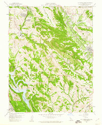
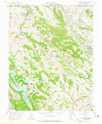
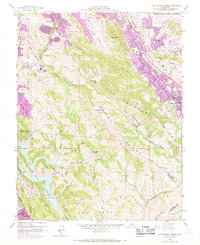
Editions of this 1959 Las Trampas Ridge Map
5 editions found
Other maps of this area

1896 · Mt. Diablo
USGS Topo · 1:62,500

1897 · Concord
USGS Topo · 1:62,500

1898 · Mt. Diablo
USGS Topo · 1:62,500

1899 · Haywards
USGS Topo · 1:62,500

1906 · Pleasanton
USGS Topo · 1:62,500

1915 · Haywards
USGS Topo · 1:62,500

1915 · Concord
USGS Topo · 1:62,500

1941 · Pleasanton
USGS Topo · 1:62,500

1942 · Concord
USGS Topo · 1:62,500

1942 · Hayward
USGS Topo · 1:62,500