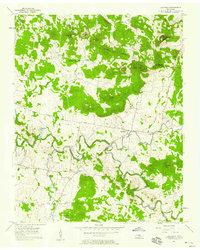
1957 Map of Lascassas
USGS Topo · Published 1958About this map
East Fork Stones River meanders through this mid-century landscape, carving a fertile path through the undulating terrain of Rutherford and Wilson Counties. The rural character of the era is evidenced by a dense network of country roads, including Jefferson Pike and Veterans Hospital Road, which connect isolated farmsteads and small communities like Lascassas and Sharpsville. The map captures a high concentration of institutional landmarks vital to local genealogy, from the U S Veterans Hospital in the west to numerous family-named burial grounds like Patterson Cem and Boyd Cem.
Find a feature on this map
61 named features on this map. Tap any name to fly to it.
Don’t see what you’re looking for? This feature index may not catch every label — zoom into the map to look around manually.
Map Details
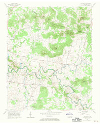
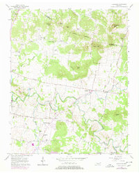
Editions of this 1957 Lascassas Map
3 editions found
Other maps of this area

1908 · Woodbury
USGS Topo · 1:62,500

1916 · Murfreesboro
USGS Topo · 1:62,500

1942 · Statesville
USGS Topo · 1:100,000

1942 · Lebanon
USGS Topo · 1:100,000

1950 · Walterhill
USGS Topo · 1:24,000

1950 · Murfreesboro
USGS Topo · 1:24,000

1956 · Vine
USGS Topo · 1:24,000

1956 · Dillton
USGS Topo · 1:24,000

1956 · Gladeville
USGS Topo · 1:24,000

1956 · Columbia
USGS Topo · 1:250,000