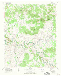
1957 Map of Lascassas
USGS Topo · Published 1970About this map
The East Fork Stones River meanders through the heart of this mid-century Rutherford County landscape, defining the rural character of the area near Lascassas. The map reveals a dense network of family heritage sites, including numerous burial grounds like Patterson Cem, Dunaway Chapel Cem, and Northcut Cem, which offer significant value for genealogical research. Local community life at this time centered around institutions such as Republican Grove Ch, Walnut Grove Ch, and Bethel Sch.
Find a feature on this map
55 named features on this map. Tap any name to fly to it.
Don’t see what you’re looking for? This feature index may not catch every label — zoom into the map to look around manually.
Map Details
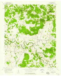
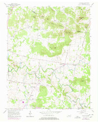
Editions of this 1957 Lascassas Map
3 editions found
Other maps of this area

1908 · Woodbury
USGS Topo · 1:62,500

1916 · Murfreesboro
USGS Topo · 1:62,500

1942 · Statesville
USGS Topo · 1:100,000

1942 · Lebanon
USGS Topo · 1:100,000

1950 · Walterhill
USGS Topo · 1:24,000

1950 · Murfreesboro
USGS Topo · 1:24,000

1956 · Vine
USGS Topo · 1:24,000

1956 · Dillton
USGS Topo · 1:24,000

1956 · Gladeville
USGS Topo · 1:24,000

1956 · Columbia
USGS Topo · 1:250,000