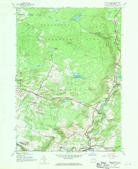
1945 Map of Lassellsville
USGS Topo · Published 1970About this map
The Adirondack Park border defines the northern half of this landscape, where the southern foothills of the mountains meet the farming communities of Fulton County. Settlement patterns follow the winding course of Caroga Creek and Garoga Creek, which provided the water power for early industry at sites like Glasgow Mills. The map documents a network of rural crossroads and hamlets, including Lassellsville, Scotchbrush, and Rockwood, during the mid-1940s. These small communities are anchored by local institutions such as School No 2 and the Miles School, alongside family-named landmarks like Dempster Corners and Fical Corners. Numerous small burial grounds, including Micheal Cem and Christman Cem, are scattered across the terrain, offering significant primary source data for genealogical research in the townships of Oppenheim and Stratford.
Find a feature on this map
44 named features on this map. Tap any name to fly to it.
Don’t see what you’re looking for? This feature index may not catch every label — zoom into the map to look around manually.
Map Details
Editions of this 1945 Lassellsville Map
3 editions found
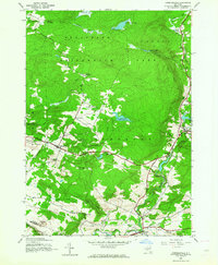
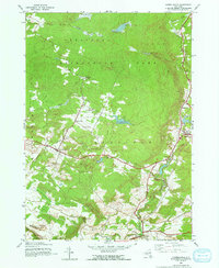
Other maps of this area

1896 · Fonda
USGS Topo · 1:62,500

1898 · Fonda
USGS Topo · 1:62,500

1898 · Canajoharie
USGS Topo · 1:62,500

1900 · Canajoharie
USGS Topo · 1:62,500

1901 · Lassellsville
USGS Topo · 1:62,500

1902 · Canajoharie
USGS Topo · 1:62,500

1902 · Fonda
USGS Topo · 1:62,500

1903 · Gloversville
USGS Topo · 1:62,500

1903 · Lassellsville
USGS Topo · 1:62,500

1943 · Gloversville
USGS Topo · 1:62,500