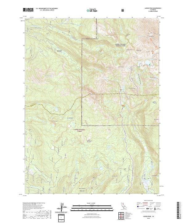
2022 Map of Lassen Peak
USGS Topo · Published 2022About this map
Lassen Peak and the surrounding volcanic landscape dominate this modern survey of the Lassen Volcanic National Park and Lassen National Forest boundary. The map provides an exceptionally detailed record of the geothermal and topographic features that define the southern Cascade Range, including the hydrothermal activity at Bumpass Hell and Bumpass Hot Springs. To the south, the settlement of Mineral sits at the base of the highlands, serving as a gateway to the peaks. The complex drainage systems of the region are traced through the N Fork Bailey Cr and Mill Cr, while high-altitude basins like Brokeoff Meadows and Glassburner Meadows illustrate the area's summer grazing and timber history. Genealogists and researchers can identify specific family-named landmarks like Christie Hill and Wilson Meadow, alongside several hot springs such as Morgan Hot Spring and Growler Hot Spring.
Find a feature on this map
72 named features on this map. Tap any name to fly to it.
Don’t see what you’re looking for? This feature index may not catch every label — zoom into the map to look around manually.
Map Details
Editions of this 2022 Lassen Peak Map
This is the sole edition of this map. No revisions or reprints were ever made.
Other maps of this area

1886 · Lassen Peak
USGS Topo · 1:250,000

1892 · Lassen Peak
USGS Topo · 1:250,000

1894 · Lassen Peak
USGS Topo · 1:250,000

1935 · Burney
USGS Topo · 1:96,000

1935 · Paynes Creek
USGS Topo · 1:96,000

1939 · Burney
USGS Topo · 1:125,000

1939 · Halls Flat
USGS Topo · 1:125,000

1941 · Mineral
USGS Topo · 1:125,000

1955 · Westwood
USGS Topo · 1:250,000

1956 · Lassen Peak
USGS Topo · 1:62,500