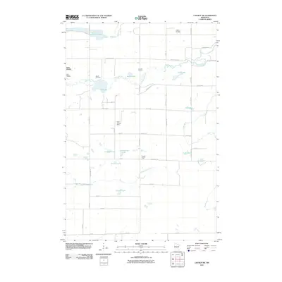
2010 Map of Lastrup NW
USGS Topo · Published 2010About this map
Saint Mathias serves as the primary settlement area in this portion of Morrison County, where the Saint Mathias Cemetery and nearby Riverside Cemetery provide significant points of interest for genealogical research. The landscape is defined by the winding course of the Nokasippi River, which is joined by the Little Nokasippi River and several smaller tributaries like Daggett Brook. The presence of the Brainerd Lookout Tower and the Kohl Landing Strip highlights the intersection of forestry management and local aviation in the region. Water management and recreational history are evident at the Round Lake Dam and across numerous named bodies of water such as Hampton Lake, Ashenbrenner Lake, and Sewells Pond. This network of country roads and waterways reveals a rural community structured around its natural drainage patterns and established family homesteads.
Find a feature on this map
51 named features on this map. Tap any name to fly to it.
Don’t see what you’re looking for? This feature index may not catch every label — zoom into the map to look around manually.
Map Details
Editions of this 2010 Lastrup NW Map
This is the sole edition of this map. No revisions or reprints were ever made.
Other maps of this area

1915 · Brainerd
USGS Topo · 1:62,500

1916 · Pillager
USGS Topo · 1:62,500

1918 · Brainerd
USGS Topo · 1:62,500

1919 · Pillager
USGS Topo · 1:62,500

1948 · Belle Prairie
USGS Topo · 1:62,500

1948 · Lastrup
USGS Topo · 1:62,500

1950 · Lastrup
USGS Topo · 1:62,500

1950 · Belle Prairie
USGS Topo · 1:62,500

1953 · Brainerd
USGS Topo · 1:250,000

1954 · Baxter
USGS Topo · 1:24,000