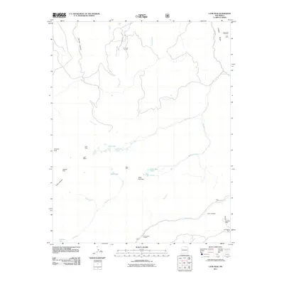
2011 Map of Latir Peak
USGS Topo · Published 2011About this map
Culebra Range peaks define this high-elevation corner of Taos County, where the legacy of early 20th-century exploration is preserved through named industrial sites like the Baldy Peak Claim Mine and the Spanish Main Prospect. The landscape is a network of steep drainages, including Virgin Canyon and Jiron Canyon, which feed into alpine water bodies such as the Latir Lakes and Cabresto Lake.
Find a feature on this map
33 named features on this map. Tap any name to fly to it.
Don’t see what you’re looking for? This feature index may not catch every label — zoom into the map to look around manually.
Map Details
Editions of this 2011 Latir Peak Map
This is the sole edition of this map. No revisions or reprints were ever made.
Other maps of this area

1954 · Raton
USGS Topo · 1:250,000

1958 · Raton
USGS Topo · 1:250,000

1963 · Costilla
USGS Topo · 1:24,000

1963 · Amalia
USGS Topo · 1:24,000

1963 · Red River Pass
USGS Topo · 1:24,000

1963 · Cerro
USGS Topo · 1:24,000

1963 · Questa
USGS Topo · 1:24,000

1963 · Latir Peak
USGS Topo · 1:24,000

1963 · Comanche Point
USGS Topo · 1:24,000

1963 · Red River
USGS Topo · 1:24,000