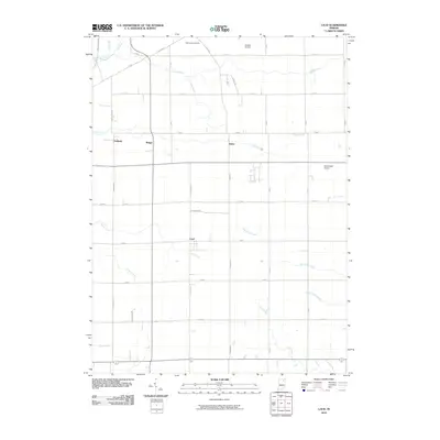
2010 Map of Laud
USGS Topo · Published 2010About this map
Laud and its surrounding rural landscapes in Whitley County are defined by a grid of agricultural section roads and an intricate network of managed waterways. Small clusters of development at Peabody, Briggs, and Raber mark the historical path of the local rail corridor, serving as anchor points for this farming region. The terrain is characterized by numerous ditches, such as Gangwer Ditch and Kerch Ditch, which work in tandem with natural flows like the Eel River and Blue River to drain the fertile plains.
Find a feature on this map
38 named features on this map. Tap any name to fly to it.
Don’t see what you’re looking for? This feature index may not catch every label — zoom into the map to look around manually.
Map Details
Editions of this 2010 Laud Map
This is the sole edition of this map. No revisions or reprints were ever made.
Other maps of this area

1953 · Fort Wayne
USGS Topo · 1:250,000

1953 · Muncie
USGS Topo · 1:250,000

1955 · Bippus
USGS Topo · 1:24,000

1955 · Columbia City
USGS Topo · 1:24,000

1956 · Muncie
USGS Topo · 1:250,000

1956 · Fort Wayne
USGS Topo · 1:250,000

1956 · Huntington
USGS Topo · 1:24,000

1956 · Lorane
USGS Topo · 1:24,000

1957 · Churubusco
USGS Topo · 1:24,000

1961 · Arcola
USGS Topo · 1:24,000