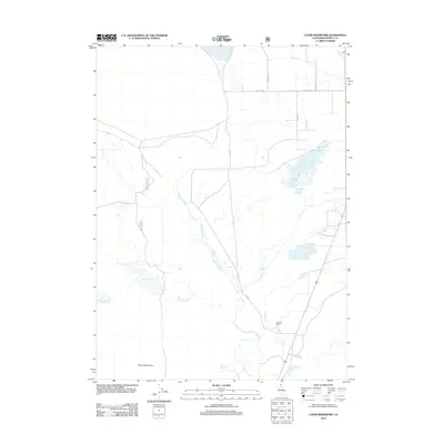
2012 Map of Lauer Reservoir
USGS Topo · Published 2012About this map
The high desert landscape of Modoc County is defined here by essential water management and isolated ranching operations. Lauer Reservoir and the Davis Creek Orchards Reservoir dominate the hydrology, serving as vital collection points for the drainage from Linnville Cr and Franklin Cr. The path of the N Fork Pit River winds through the southern portion of the quadrangle, while Russell Slough provides a look at the natural seasonal watercourses that traverse this arid terrain. Topographical landmarks like Round Mountain and Bowers Spring anchor the map, showing the sparse but critical features that supported early settlement. This survey offers a detailed view of the rural infrastructure in the early 21st century, including the established Crowder Ranch and the network of county roads like Co Rd 53 that link these remote holdings.
Find a feature on this map
17 named features on this map. Tap any name to fly to it.
Don’t see what you’re looking for? This feature index may not catch every label — zoom into the map to look around manually.
Map Details
Editions of this 2012 Lauer Reservoir Map
This is the sole edition of this map. No revisions or reprints were ever made.
Other maps of this area

1886 · Alturas
USGS Topo · 1:250,000

1892 · Alturas
USGS Topo · 1:250,000

1954 · Alturas
USGS Topo · 1:250,000

1958 · Alturas
USGS Topo · 1:250,000

1962 · Alturas
USGS Topo · 1:250,000

1962 · Davis Creek
USGS Topo · 1:62,500

1962 · Big Sage Reservoir
USGS Topo · 1:62,500

1962 · Willow Ranch
USGS Topo · 1:62,500

1962 · South Mountain
USGS Topo · 1:62,500

1965 · Alturas
USGS Topo · 1:250,000