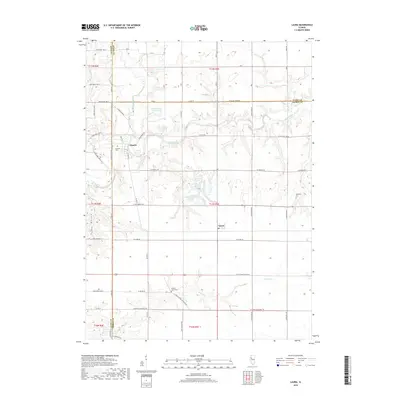
2018 Map of Laura
USGS Topo · Published 2018About this map
Elmore and Laura anchor this rural landscape where the Spoon River cuts through the western terrain of Peoria and Knox Counties. The land is defined by a deep network of drainage and local transit, with water features like Walnut Creek, French Creek, and Kepler Lake shaping the local topography. The settlement pattern remains largely agricultural, connected by a grid of named rural roads and significant paths like the W Peoria Galesburg Trl.
Find a feature on this map
48 named features on this map. Tap any name to fly to it.
Don’t see what you’re looking for? This feature index may not catch every label — zoom into the map to look around manually.
Map Details
Editions of this 2018 Laura Map
This is the sole edition of this map. No revisions or reprints were ever made.
Other maps of this area

1931 · Galva
USGS Topo · 1:48,000

1940 · Galva
USGS Topo · 1:62,500

1941 · Maquon
USGS Topo · 1:62,500

1943 · Maquon
USGS Topo · 1:62,500

1944 · Galva
USGS Topo · 1:62,500

1944 · Kewanee
USGS Topo · 1:62,500

1944 · Elmwood
USGS Topo · 1:62,500

1948 · Elmwood
USGS Topo · 1:62,500

1958 · Burlington
USGS Topo · 1:250,000

1958 · Davenport
USGS Topo · 1:250,000