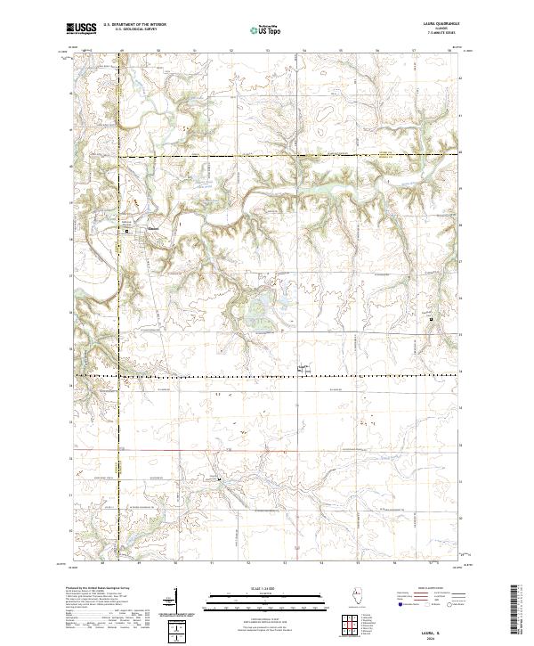
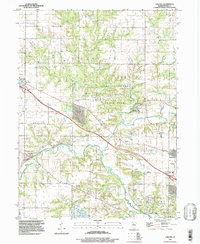
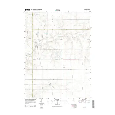
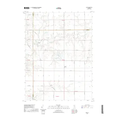
2024 Map of Laura
USGS Topo · Published 2024About this map
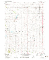
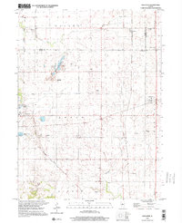
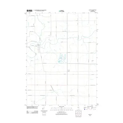
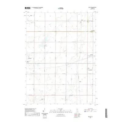
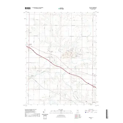
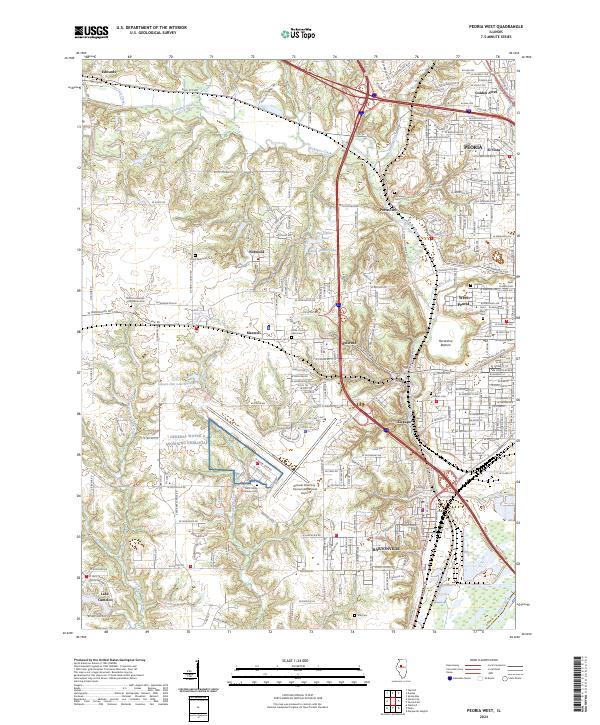
Elmore and Laura anchor this agricultural landscape at the tri-county junction of Peoria, Stark, and Knox Counties. The terrain is defined by the winding course of the Spoon River, which carves a distinct valley across the northern half of the quadrangle, fed by tributaries like Walnut Creek and Brandywine Creek. This 2024 survey reveals a sophisticated network of section-line roads and named rural routes, such as the W Peoria Galesburg Trl, that connect isolated farmsteads and historical burial sites. Genealogists will find several well-preserved landmarks, including the Millbrook Glendale Cem near Elmore and the French Grove Cem situated along N French Grove Cemetery Rd. The southern portion of the map is dominated by the drainage of French Creek, illustrating the enduring reliance on these waterways for the region's rural development.
Find a feature on this map
42 named features on this map. Tap any name to fly to it.
Don’t see what you’re looking for? This feature index may not catch every label — zoom into the map to look around manually.
Map Details
Editions of this 2024 Laura Map
This is the sole edition of this map. No revisions or reprints were ever made.
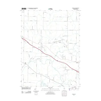
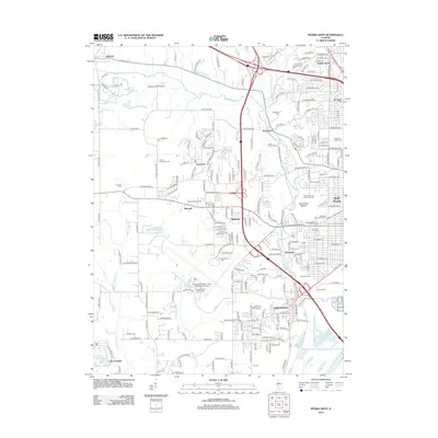
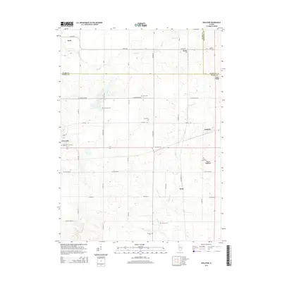
Historical Maps of Laura Through Time
34 maps found
1949 Peoria West
Peoria County, IL
1950 Peoria West
Peoria County, IL
1971 Oak Hill
Peoria County, IL
1982 Edelstein
Peoria County, IL
1982 Farmington East
Peoria County, IL
1982 Laura
Peoria County, IL
1996 Peoria West
Peoria County, IL
1997 Oak Hill
Peoria County, IL
1998 Edelstein
Peoria County, IL
2012 Edelstein
Peoria County, IL
2012 Farmington East
Peoria County, IL
2012 Laura
Peoria County, IL
2012 Oak Hill
Peoria County, IL
2012 Peoria West
Peoria County, IL
2015 Edelstein
Peoria County, IL
2015 Farmington East
Peoria County, IL
2015 Laura
Peoria County, IL
2015 Oak Hill
Peoria County, IL
2015 Peoria West
Peoria County, IL
2018 Edelstein
Peoria County, IL
2018 Farmington East
Peoria County, IL
2018 Laura
Peoria County, IL
2018 Oak Hill
Peoria County, IL
2018 Peoria West
Peoria County, IL
2021 Edelstein
Peoria County, IL
2021 Farmington East
Peoria County, IL
2021 Laura
Peoria County, IL
2021 Oak Hill
Peoria County, IL
2021 Peoria West
Peoria County, IL
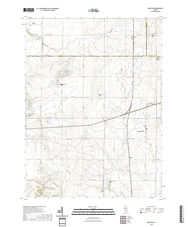
2024 Edelstein
Peoria County, IL
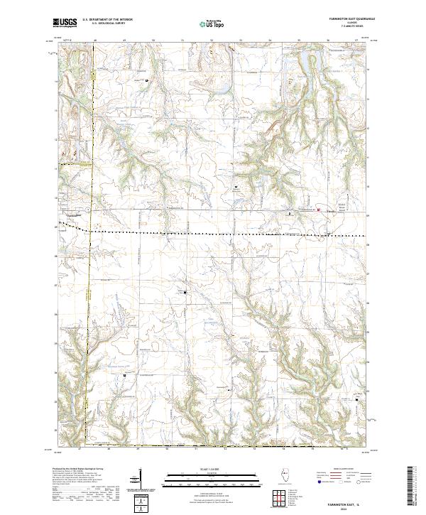
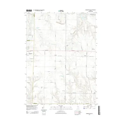
2024 Farmington East
Peoria County, IL
2024 Laura
Peoria County, IL

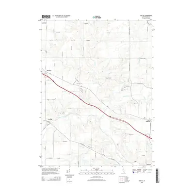
2024 Oak Hill
Peoria County, IL
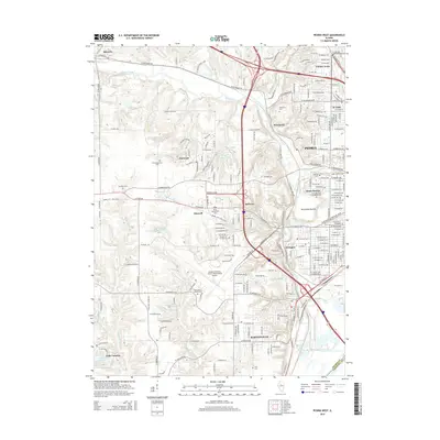
2024 Peoria West
Peoria County, IL