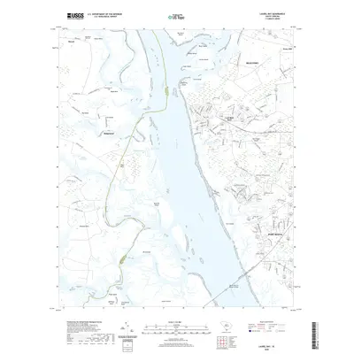
2020 Map of Laurel Bay
USGS Topo · Published 2020About this map
The Broad River serves as the central artery for this coastal landscape, separating the mainland reaches of Ridgeland and Murad from the expansive Port Royal Island. This 2020 survey illustrates a complex network of marshes and tidal waterways, including Whale Branch, Euhaw Creek, and the Chechessee River, which surround numerous landforms like Corn Island, Bird Island, and Lemon Island. The topography is defined by low-lying necks and points, such as Hazzard Neck and Deloss Point, where water and land continuously intersect.
Find a feature on this map
120 named features on this map. Tap any name to fly to it.
Don’t see what you’re looking for? This feature index may not catch every label — zoom into the map to look around manually.
Map Details
Editions of this 2020 Laurel Bay Map
This is the sole edition of this map. No revisions or reprints were ever made.
Other maps of this area

1918 · Green Pond
USGS Topo · 1:62,500

1918 · Yemassee
USGS Topo · 1:62,500

1920 · Okatie
USGS Topo · 1:62,500

1942 · Okatie
USGS Topo · 1:62,500

1943 · Yemassee
USGS Topo · 1:62,500

1943 · Green Pond
USGS Topo · 1:62,500

1944 · Fort Fremont
USGS Topo · 1:62,500

1947 · Savannah
USGS Topo · 1:250,000

1948 · Savannah
USGS Topo · 1:250,000
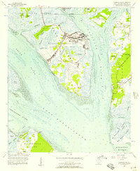
1956 · Parris Island
USGS Topo · 1:24,000