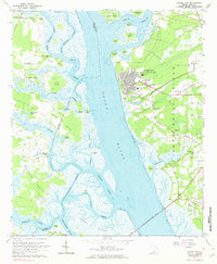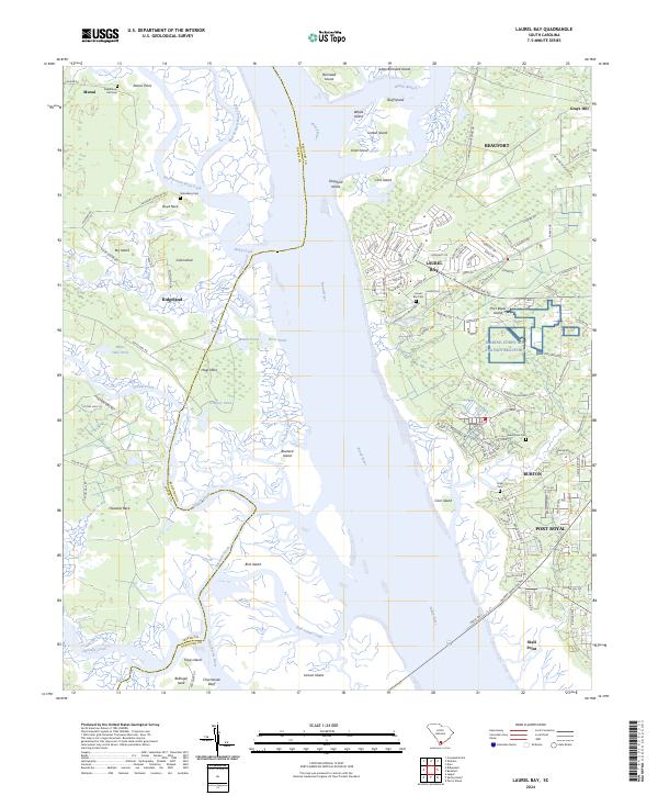
2024 Map of Laurel Bay
USGS Topo · Published 2024About this map
Whale Branch and the Broad River dominate this coastal landscape, where the tides carve a network of creeks and islands between Beaufort and Jasper counties. The eastern bank is heavily defined by federal presence at the Marine Corps Air Station Beaufort, flanked by the communities of Laurel Bay, Burton, and Port Royal. For genealogists, the map identifies several burial grounds including Laurel Bay Cem, Habersham Cem, and the Republican Hall Cem further west near Murad. The terrain is a complex puzzle of tidal features like Buzzard Island, Lemon Island, and Corn Island, separated by deep-reaching waterways such as Hazzard Creek and the Chechessee River. This document details the modern infrastructure of the Lowcountry, from the residential loops of Ridgeland to the spiritual landmarks of Mt Grace and Old Bethel.
Find a feature on this map
136 named features on this map. Tap any name to fly to it.
Don’t see what you’re looking for? This feature index may not catch every label — zoom into the map to look around manually.
Map Details
Editions of this 2024 Laurel Bay Map
This is the sole edition of this map. No revisions or reprints were ever made.