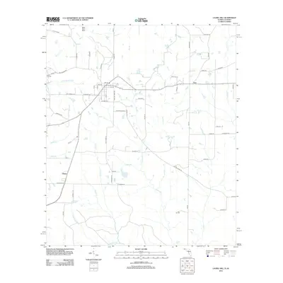
2012 Map of Laurel Hill
USGS Topo · Published 2012About this map
Okaloo and the surrounding borderlands of Okaloosa County are defined by a complex network of waterways that flow toward the Gulf, including the aptly named Murder Cr and Horsehead Cr. This 2012 survey reveals a rural landscape where long-standing family and community landmarks remain central, such as Mount Zion Cem and Rock Hill Cem. The area is characterized by a mix of established settlements like Svea and more remote locations like Black Gum Head near the Alabama state line.
Find a feature on this map
72 named features on this map. Tap any name to fly to it.
Don’t see what you’re looking for? This feature index may not catch every label — zoom into the map to look around manually.
Map Details
Editions of this 2012 Laurel Hill Map
This is the sole edition of this map. No revisions or reprints were ever made.
Other maps of this area

1949 · Crestview
USGS Topo · 1:62,500

1949 · Laurel Hill
USGS Topo · 1:62,500

1950 · Laurel Hill
USGS Topo · 1:62,500

1951 · Crestview
USGS Topo · 1:62,500

1953 · Andalusia
USGS Topo · 1:250,000

1957 · Andalusia
USGS Topo · 1:250,000

1957 · Pensacola
USGS Topo · 1:250,000

1959 · Pensacola
USGS Topo · 1:250,000

1960 · Pensacola
USGS Topo · 1:250,000

1971 · Wing
USGS Topo · 1:24,000