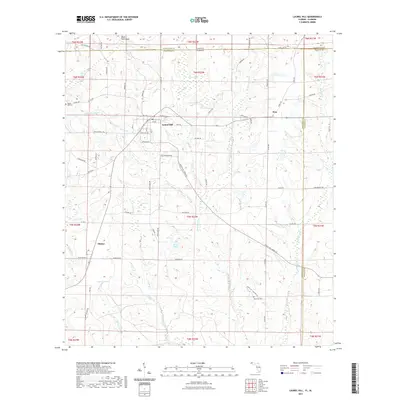
2021 Map of Laurel Hill
USGS Topo · Published 2021About this map
Laurel Hill serves as the primary focal point of this northern Okaloosa County landscape, situated just south of the Alabama-Florida state line. The settlement layout is defined by a grid including 1st Ave, 2nd Ave, and 3rd Ave, intersecting with local routes like Steele Mill Creek Rd. The surrounding terrain is characterized by a dense network of water features and low-lying wetlands, including the expansive Tyner Bay and Ward Bay. To the west, the community of Okaloo sits near the winding course of Murder Cr. This 2021 survey reveals a rural area where local history is preserved at sites like Mount Zion Cem and Rock Hill Cem. Significant watercourses such as Juniper Creek and Horsehead Creek drain the region, while landmarks like Black Gum Head and Jakes Hill provide distinct vertical relief in the humid coastal plain environment.
Find a feature on this map
76 named features on this map. Tap any name to fly to it.
Don’t see what you’re looking for? This feature index may not catch every label — zoom into the map to look around manually.
Map Details
Editions of this 2021 Laurel Hill Map
This is the sole edition of this map. No revisions or reprints were ever made.
Other maps of this area

1949 · Crestview
USGS Topo · 1:62,500

1949 · Laurel Hill
USGS Topo · 1:62,500

1950 · Laurel Hill
USGS Topo · 1:62,500

1951 · Crestview
USGS Topo · 1:62,500

1953 · Andalusia
USGS Topo · 1:250,000

1957 · Andalusia
USGS Topo · 1:250,000

1957 · Pensacola
USGS Topo · 1:250,000

1959 · Pensacola
USGS Topo · 1:250,000

1960 · Pensacola
USGS Topo · 1:250,000

1971 · Wing
USGS Topo · 1:24,000