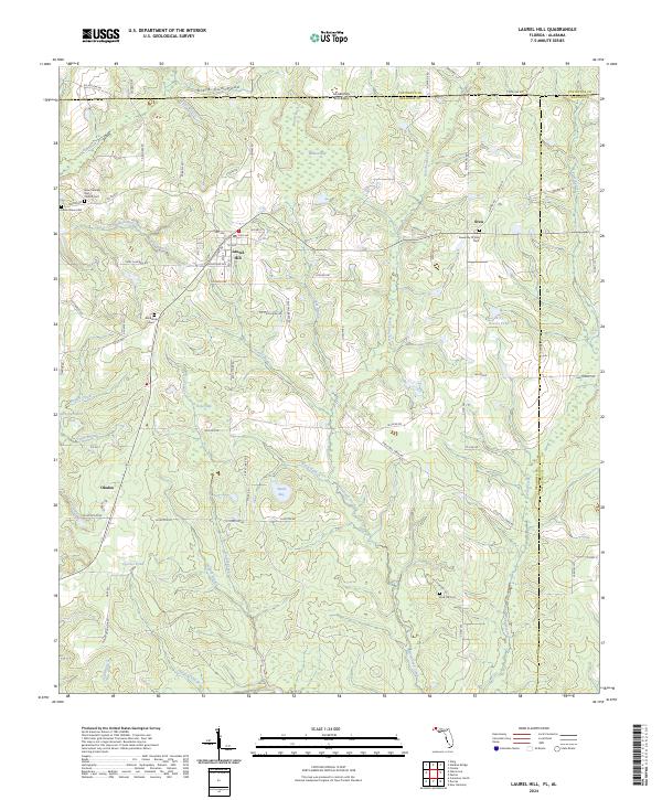
2024 Map of Laurel Hill
USGS Topo · Published 2024About this map
The northern edge of Okaloosa County meets the Alabama-Florida state line in this survey of Laurel Hill and its surrounding rural landscapes. The town of Laurel Hill serves as the local hub, characterized by a grid of numbered avenues and residential streets like Sunnyside Ave and Chicago Ave. The outlying areas are defined by a network of family-named landmarks and country crossroads such as Okaloo and Svea. This region is heavily influenced by the drainage patterns of Juniper Creek, Big Creek, and Horsehead Creek, which carve through a landscape dotted with unique depressions like Tyner Bay and Ward Bay.
Find a feature on this map
92 named features on this map. Tap any name to fly to it.
Don’t see what you’re looking for? This feature index may not catch every label — zoom into the map to look around manually.
Map Details
Editions of this 2024 Laurel Hill Map
This is the sole edition of this map. No revisions or reprints were ever made.
Other maps of this area

1949 · Crestview
USGS Topo · 1:62,500

1949 · Laurel Hill
USGS Topo · 1:62,500

1950 · Laurel Hill
USGS Topo · 1:62,500

1951 · Crestview
USGS Topo · 1:62,500

1953 · Andalusia
USGS Topo · 1:250,000

1957 · Andalusia
USGS Topo · 1:250,000

1957 · Pensacola
USGS Topo · 1:250,000

1959 · Pensacola
USGS Topo · 1:250,000

1960 · Pensacola
USGS Topo · 1:250,000

1971 · Wing
USGS Topo · 1:24,000