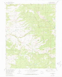
1980 Map of Lava Creek
USGS Topo · Published 1980About this map
White River National Forest lands dominate this high-country landscape, where the Piney River carves through the terrain as it flows westward. The survey reveals a complex network of hydrologic and topographic features, including the Piney Guard Station and a Gaging Station positioned to monitor the river's flow. High-altitude basins are dotted with small glacial lakes such as Lava Lake, Marma Lake, and the Lone Lick Lakes, many of which are only accessible via the numerous Jeep Trails and Pack Trails that traverse the ridges. Movement through the area is constrained by the steep topography, centered on significant crossings like Mc Cord Pass and Muddy Creek Pass. The presence of several named springs, including Dodo Spring and High Trail Gulch Spring, underscores the importance of water sources in managing this forest environment for recreation and resource protection.
Find a feature on this map
48 named features on this map. Tap any name to fly to it.
Don’t see what you’re looking for? This feature index may not catch every label — zoom into the map to look around manually.
Map Details
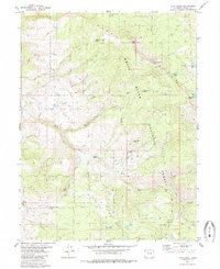
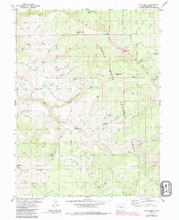
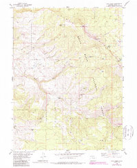
Editions of this 1980 Lava Creek Map
4 editions found
Other maps of this area

1933 · Mt. Powell
USGS Topo · 1:48,000

1934 · Minturn
USGS Topo · 1:62,500

1940 · Mount Powell
USGS Topo · 1:62,500

1950 · Minturn
USGS Topo · 1:62,500

1957 · Leadville
USGS Topo · 1:250,000

1959 · Leadville
USGS Topo · 1:250,000

1960 · Leadville
USGS Topo · 1:250,000

1962 · Leadville
USGS Topo · 1:250,000

1962 · Wolcott
USGS Topo · 1:24,000

1962 · Edwards
USGS Topo · 1:24,000