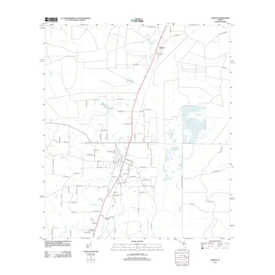
2012 Map of Lawtey
USGS Topo · Published 2012About this map
Highland and Saxton anchor the transportation corridor of northern Bradford County in the early 21st century. The landscape is defined by the headwaters of numerous small waterways, including Alligator Creek and Olustee Creek, which navigate through a grid of numbered county roads. The settlement of Lawtey is clearly visible, centered near the Lawtey Cemetery and the intersection of Middleburg Road and Jackson Street. The eastern portion of the map is dominated by the western edges of the Camp Blanding Military Reservation, which creates a distinct boundary against the surrounding private tracts and timber lands. This area shows the continued importance of the timber and fire management infrastructure, evidenced by the presence of the Hill Lookout Tower and a network of arterial paths like Logging Road, providing a detailed view of the rural Florida interior before modern development patterns fully suburbanized the region.
Find a feature on this map
51 named features on this map. Tap any name to fly to it.
Don’t see what you’re looking for? This feature index may not catch every label — zoom into the map to look around manually.
Map Details
Editions of this 2012 Lawtey Map
This is the sole edition of this map. No revisions or reprints were ever made.
Other maps of this area

1918 · Middleburg
USGS Topo · 1:62,500

1918 · Lawtey
USGS Topo · 1:62,500

1941 · Starke
USGS Topo · 1:62,500

1941 · Middleburg
USGS Topo · 1:62,500

1942 · Ates Creek
USGS Topo · 1:62,500

1948 · Starke
USGS Topo · 1:50,000

1948 · Jacksonville
USGS Topo · 1:250,000

1949 · Middleburg SW
USGS Topo · 1:24,000

1949 · Sampson
USGS Topo · 1:24,000

1949 · Fiftone
USGS Topo · 1:24,000