
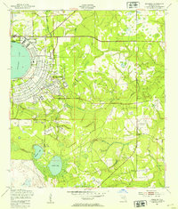
1949 Map of Middleburg SW
USGS Topo · Published 1953About this map
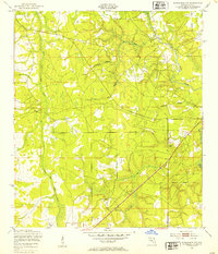
North Fork Black Creek and its many winding tributaries define this low-lying landscape in Clay County, Florida, shortly after the war. The map reveals a rural area dominated by natural drainage systems and early mid-century infrastructure, including several light-duty roads and unimproved dirt paths. Of particular note for local historians and genealogists is the Oak Grove Ch and an adjacent Cem, which serve as community anchors in the southern portion of the quadrangle.
Find a feature on this map
15 named features on this map. Tap any name to fly to it.
Don’t see what you’re looking for? This feature index may not catch every label — zoom into the map to look around manually.
Map Details
Editions of this 1949 Middleburg SW Map
5 editions found
Other maps of this area

1918 · Middleburg
USGS Topo · 1:62,500

1918 · Lawtey
USGS Topo · 1:62,500

1941 · Starke
USGS Topo · 1:62,500

1941 · Middleburg
USGS Topo · 1:62,500

1942 · Ates Creek
USGS Topo · 1:62,500

1948 · Starke
USGS Topo · 1:50,000

1948 · Jacksonville
USGS Topo · 1:250,000

1949 · Fiftone
USGS Topo · 1:24,000

1949 · Starke
USGS Topo · 1:24,000
1949 · Kingsley
USGS Topo · 1:24,000